Foreign Trade Zone · United States

FTZ No. 046 CIncinnati Active
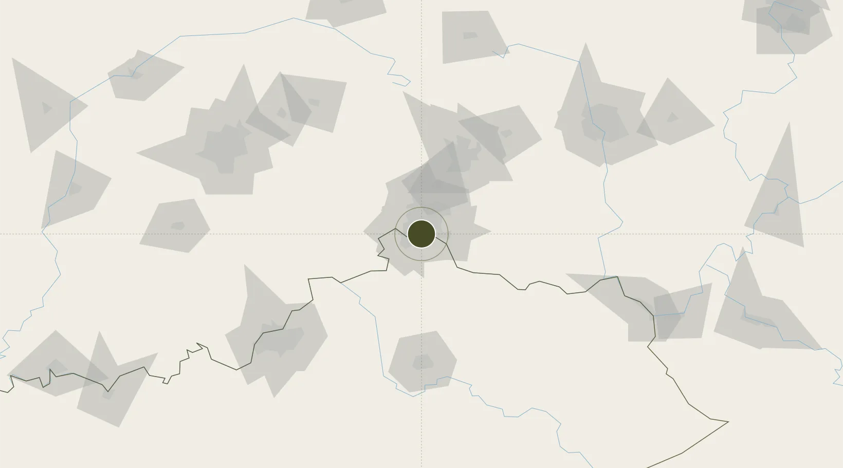
39.0998°, -84.5142°
300.3 km
Nearest port
8.2 km
Nearest airport

Gateway access

Nearest neighbours — logibook spatial index (haversine) over the source coordinates

Zone profile

Zone type
Foreign Trade Zone
Open Zone Map
Region
Kentucky
Open Zone Map
Status
Active
Open Zone Map
Management
Public-Private Partnership
Open Zone Map
Operator
Greater CIncinnati FTZ, Inc.
Open Zone Map
Legal framework
Foreign-Trade Zones Act
Open Zone Map

Location

Location of ozm-4939
Natural Earth 10m (public domain) · Kentucky · ozm-4939 · 39.10, -84.51GoogleOSMYandex

Nearby Logistics Neighbours

Ports
  1. 1Port Clinton300 km
  2. 2Toledo302 km
  3. 3Sandusky303 km
  4. 4Huron305 km
  5. 5Vermilion317 km
Nearest neighbours — logibook spatial index (haversine) over the source coordinates
Airports
  1. 1Cincinnati Municipal Airport Lunken Field8 km
  2. 2Cincinnati Northern Kentucky International Airport14 km
  3. 3Wilmington Airpark72 km
  4. 4Wright-Patterson Air Force Base90 km
  5. 5James M. Cox Dayton International Airport93 km
Nearest neighbours — logibook spatial index (haversine) over the source coordinates
Cities
  1. 1Dayton5 km
  2. 2Fort Mitchell5 km
  3. 3Southgate6 km
  4. 4Delhi7 km
  5. 5Crestview Hills10 km
Nearest neighbours — logibook spatial index (haversine) over the source coordinates
Trade Zones
  1. 1FTZ No. 047 Boone County36 km
  2. 2FTZ No. 054 Clinton County73 km
  3. 3FTZ No. 100 Dayton80 km
  4. 4FTZ No. 029 Louisville145 km
  5. 5FTZ No. 138 Franklin County157 km
Nearest neighbours — logibook spatial index (haversine) over the source coordinates
DatabookThe Record of Consolidated Knowledge
United States beyond logistics?
Browse databook

All Sources

Trade ZonesOpen Zone Map
CC BY
Portsthe NGA World Port Index
Public domain (US gov)
AirportsOurAirports
Public domain
LocationsUN/LOCODE
UN/LOCODE — free
← United States trade zones