Foreign Trade Zone · United States

FTZ No. 047 Boone County Active
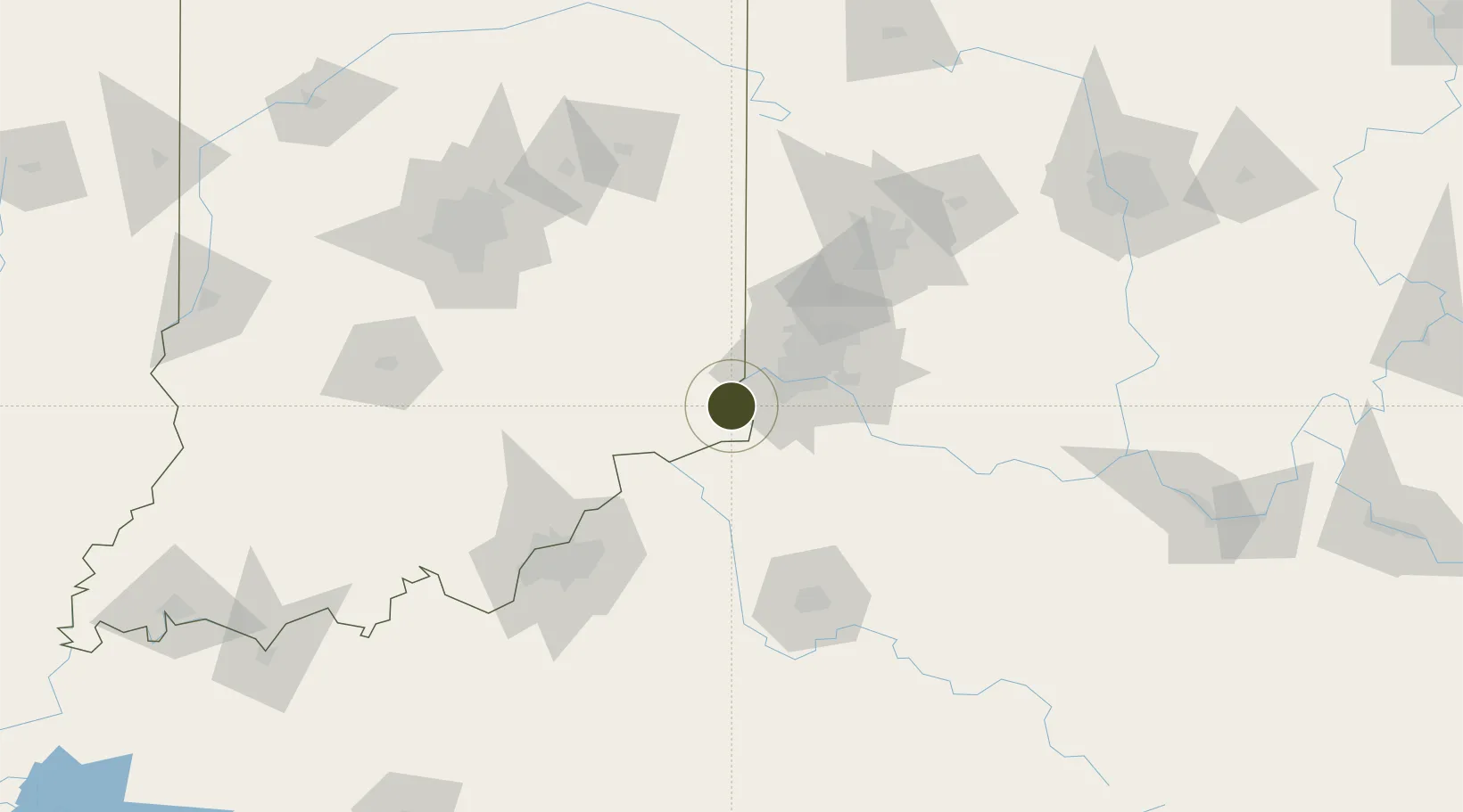
38.9623°, -84.8878°
327.4 km
Nearest port
21.3 km
Nearest airport

Gateway access

Nearest neighbours — logibook spatial index (haversine) over the source coordinates

Zone profile

Zone type
Foreign Trade Zone
Open Zone Map
Region
Indiana
Open Zone Map
Status
Active
Open Zone Map
Management
Public-Private Partnership
Open Zone Map
Operator
Greater CIncinnati FTZ, Inc.
Open Zone Map
Legal framework
Foreign-Trade Zones Act
Open Zone Map

Location

Location of ozm-4941
Natural Earth 10m (public domain) · Indiana · ozm-4941 · 38.96, -84.89GoogleOSMYandex

Nearby Logistics Neighbours

Ports
  1. 1Toledo327 km
  2. 2Port Clinton329 km
  3. 3Sandusky332 km
  4. 4Huron336 km
  5. 5Put In Bay347 km
Nearest neighbours — logibook spatial index (haversine) over the source coordinates
Airports
  1. 1Cincinnati Northern Kentucky International Airport21 km
  2. 2Cincinnati Municipal Airport Lunken Field43 km
  3. 3Columbus Municipal Airport93 km
  4. 4Bowman Field106 km
  5. 5Blue Grass Airport106 km
Nearest neighbours — logibook spatial index (haversine) over the source coordinates
Cities
  1. 1Aurora10 km
  2. 2Burlington17 km
  3. 3Warsaw20 km
  4. 4North Bend24 km
  5. 5Verona25 km
Nearest neighbours — logibook spatial index (haversine) over the source coordinates
Trade Zones
  1. 1FTZ No. 046 CIncinnati36 km
  2. 2FTZ No. 100 Dayton106 km
  3. 3FTZ No. 054 Clinton County108 km
  4. 4FTZ No. 029 Louisville111 km
  5. 5FTZ No. 072 Indianapolis149 km
Nearest neighbours — logibook spatial index (haversine) over the source coordinates
DatabookThe Record of Consolidated Knowledge
United States beyond logistics?
Browse databook

All Sources

Trade ZonesOpen Zone Map
CC BY
Portsthe NGA World Port Index
Public domain (US gov)
AirportsOurAirports
Public domain
LocationsUN/LOCODE
UN/LOCODE — free
← United States trade zones