Foreign Trade Zone · United States
FTZ No. 029 Louisville Active
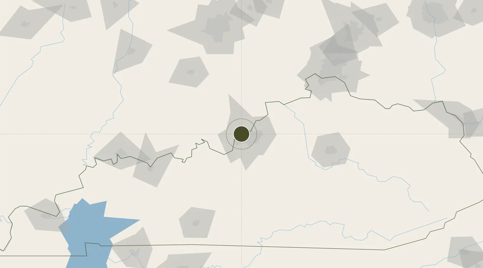
38.2682°, -85.7993°
394.6 km
Nearest port
12.2 km
Nearest airport
Gateway access
Zone profile
Zone type
Foreign Trade Zone
Region
Kentucky
Status
Active
Management
Public
Operator
Louisville and Jefferson County Riverport Authority
Legal framework
Foreign-Trade Zones Act
Location
Nearby Logistics Neighbours
Ports
- 1Gary395 km
- 2Michigan City397 km
- 3Indiana Harbor403 km
- 4Calumet Harbor412 km
- 5Chicago430 km
Airports
- 1Louisville Muhammad Ali International Airport12 km
- 2Bowman Field13 km
- 3Godman Army Air Field43 km
- 4Blue Grass Airport107 km
- 5Columbus Municipal Airport111 km
Cities
- 1Shively8 km
- 2Louisville12 km
- 3Whitner14 km
- 4Starlight16 km
- 5Lanesville17 km
Trade Zones
- 1FTZ No. 047 Boone County111 km
- 2FTZ No. 046 CIncinnati145 km
- 3FTZ No. 177 Evansville162 km
- 4FTZ No. 072 Indianapolis168 km
- 5FTZ No. 100 Dayton215 km
DatabookThe Record of Consolidated Knowledge
United States beyond logistics?