Large airport · United States
Louisville Muhammad Ali International AirportKSDF
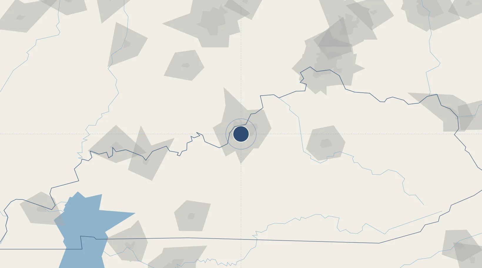
38.1706°, -85.7351°
11,887 ft
Longest runway
3
Runways
501 ft
Elevation
Runway & Layout

Radio Frequencies
ATIS
118.725 MHz
TWR
124.2 MHz
GND
121.7 MHz
CLD
126.1 MHz
CLNC DEL
APP
123.675 MHz
DEP
123.675 MHz
OPS
26.81 MHz
ANG OPS
UNIC
122.95 MHz
UNICOM
Runways · 3
| Runway | Dimensions | Surface | True heading | Lit |
|---|---|---|---|---|
| 17R/35L | 11,887 × 150ft | Concrete | 165° | ✓ |
| 17L/35R | 8,578 × 150ft | Concrete | 165° | ✓ |
| 11/29 | 7,251 × 150ft | Concrete | 111° | ✓ |
Airport Specifications
IATA code
SDF
ICAO code
KSDF
Airport class
Large airport
Scheduled service
Yes
Runway surface
Concrete
Served city
Louisville
Location
Nearby Logistics Neighbours
Airports
- 1Bowman Field9 km
- 2Godman Army Air Field36 km
- 3Blue Grass Airport100 km
- 4Columbus Municipal Airport122 km
- 5Monroe County Airport133 km
Cities
- 1Louisville2 km
- 2Whitner5 km
- 3Shively8 km
- 4Fairdale8 km
- 5Brooks12 km
Ports
- 1Gary407 km
- 2Michigan City408 km
- 3Indiana Harbor415 km
- 4Calumet Harbor424 km
- 5Toledo438 km
Trade Zones
- 1FTZ No. 029 Louisville12 km
- 2FTZ No. 047 Boone County115 km
- 3FTZ No. 046 CIncinnati148 km
- 4FTZ No. 177 Evansville166 km
- 5FTZ No. 072 Indianapolis180 km
DatabookThe Record of Consolidated Knowledge
United States beyond logistics?