Transport Functions
Road
Multimodal
Hub Profile
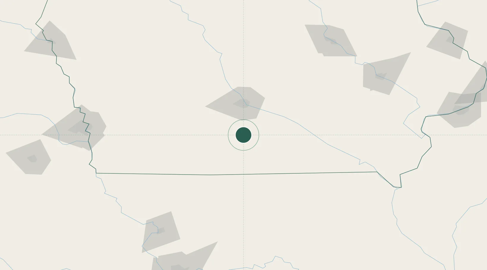
Place type
Populated place
Region
Iowa
Time zone
America/Chicago
Elevation
323 m
Location
Nearby Logistics Neighbours
Ports
- 1Great Lakes499 km
- 2Waukegan502 km
- 3Wilmette507 km
- 4Kenosha509 km
- 5Chicago510 km
Airports
- 1Des Moines International Airport43 km
- 2Ottumwa Regional Airport101 km
- 3Kirksville Regional Airport150 km
- 4Fort Dodge Regional Airport162 km
- 5The Eastern Iowa Airport181 km
Trade Zones
- 1FTZ No. 107 Polk County58 km
- 2FTZ No. 175 Cedar Rapids178 km
- 3FTZ No. 055 Burlington217 km
- 4FTZ No. 017 Kansas City251 km
- 5FTZ No. 133 Quad-Cities, Iowa Illinois251 km
DatabookThe Record of Consolidated Knowledge
United States beyond logistics?