Transport Functions
Rail
Road
Multimodal
Hub Profile
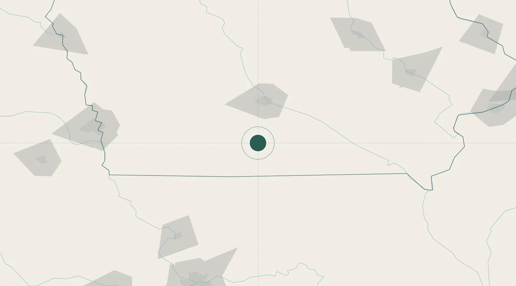
Place type
Provincial seat
Region
Iowa
Population
4,972
Time zone
America/Chicago
Elevation
348 m
Location
Nearby Logistics Neighbours
Ports
- 1Great Lakes511 km
- 2Waukegan514 km
- 3Wilmette518 km
- 4Kenosha521 km
- 5Chicago521 km
Airports
- 1Des Moines International Airport56 km
- 2Ottumwa Regional Airport109 km
- 3Kirksville Regional Airport146 km
- 4Rosecrans Memorial Airport171 km
- 5Fort Dodge Regional Airport173 km
Trade Zones
- 1FTZ No. 107 Polk County71 km
- 2FTZ No. 175 Cedar Rapids192 km
- 3FTZ No. 055 Burlington224 km
- 4FTZ No. 017 Kansas City236 km
- 5FTZ No. 133 Quad-Cities, Iowa Illinois238 km
DatabookThe Record of Consolidated Knowledge
United States beyond logistics?