Transport Functions
Rail
Road
Multimodal
Hub Profile
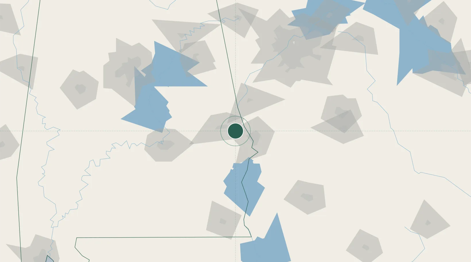
Place type
Populated place
Region
Alabama
Time zone
America/Chicago
Elevation
213 m
Location
Nearby Logistics Neighbours
Cities
- 1Cusseta22 km
- 2Lanett30 km
- 3West Point32 km
- 4Seale34 km
- 5Lafayette39 km
Ports
- 1Panama City275 km
- 2Pensacola307 km
- 3Port St Joe308 km
- 4Carrabelle309 km
- 5Apalachicola320 km
Airports
Trade Zones
- 1FTZ No. 222 Montgomery104 km
- 2FTZ No. 233 Dothan152 km
- 3FTZ No. 026 Atlanta153 km
- 4FTZ No. 098 Birmingham180 km
- 5FTZ No. 065 Panama City269 km
DatabookThe Record of Consolidated Knowledge
United States beyond logistics?