UN/LOCODE hub · United States
USWOI
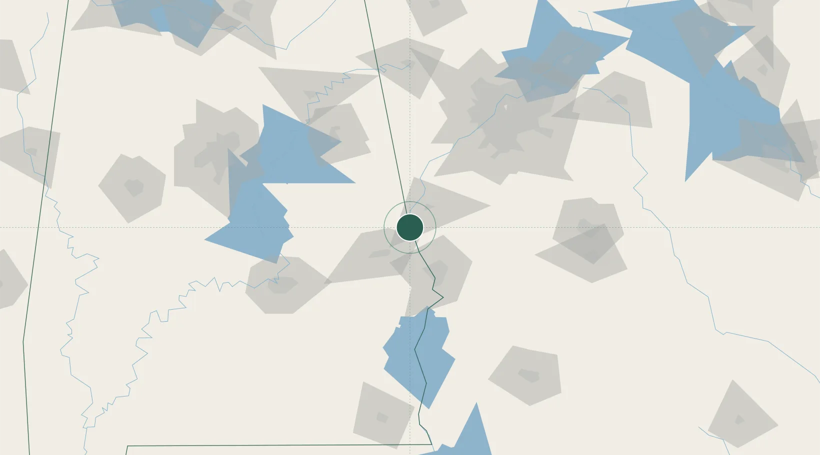
West Point
32.8667°, -85.1833°
3,728
Population
2
Transport functions
Transport Functions
Rail
Road
Hub Profile
Place type
Populated place
Region
Georgia
Population
3,728
Time zone
America/New_York
Elevation
174 m
Location
Nearby Logistics Neighbours
Ports
- 1Panama City307 km
- 2Pensacola335 km
- 3Carrabelle339 km
- 4Port St Joe339 km
- 5Apalachicola351 km
Airports
Trade Zones
- 1FTZ No. 222 Montgomery119 km
- 2FTZ No. 026 Atlanta124 km
- 3FTZ No. 098 Birmingham168 km
- 4FTZ No. 233 Dothan184 km
- 5FTZ No. 083 Huntsville246 km
DatabookThe Record of Consolidated Knowledge
United States beyond logistics?