Transport Functions
Rail
Road
Multimodal
Hub Profile
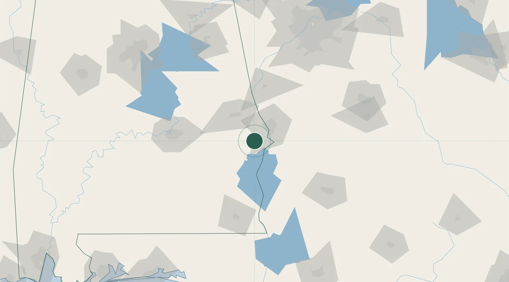
Place type
Populated place
Region
Alabama
Time zone
America/Chicago
Elevation
104 m
Location
Nearby Logistics Neighbours
Cities
- 1Cottonton19 km
- 2Hurtsboro24 km
- 3Salem34 km
- 4Cusseta56 km
- 5Waverly Hall60 km
Ports
- 1Panama City243 km
- 2Port St Joe275 km
- 3Carrabelle275 km
- 4Pensacola286 km
- 5Apalachicola286 km
Airports
Trade Zones
- 1FTZ No. 222 Montgomery108 km
- 2FTZ No. 233 Dothan120 km
- 3FTZ No. 026 Atlanta180 km
- 4FTZ No. 098 Birmingham206 km
- 5FTZ No. 065 Panama City238 km
DatabookThe Record of Consolidated Knowledge
United States beyond logistics?