Transport Functions
Road
Multimodal
Hub Profile
Place type
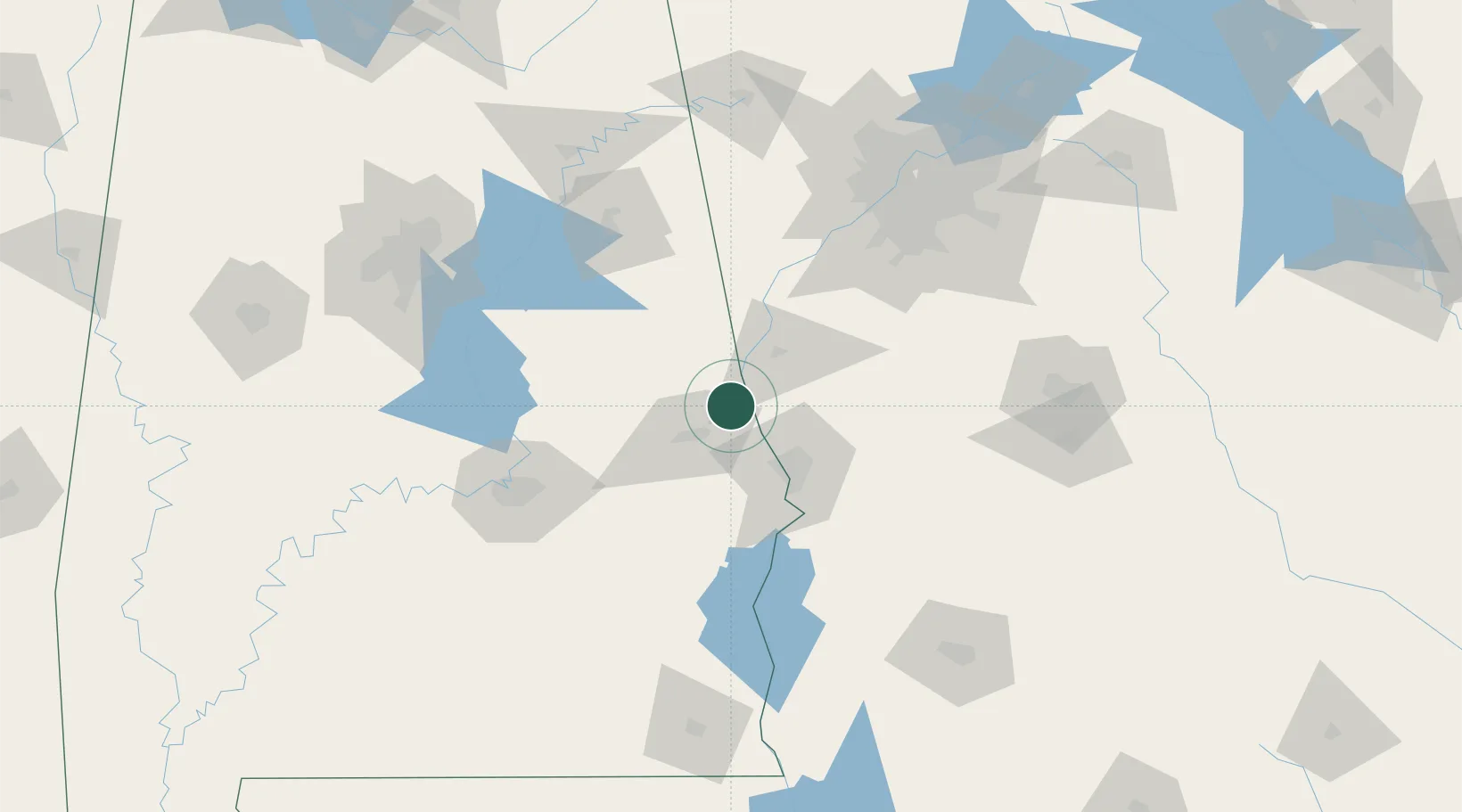
Populated place
Region
Alabama
Population
124
Time zone
America/Chicago
Elevation
220 m
Location
Nearby Logistics Neighbours
Cities
- 1Lanett10 km
- 2West Point11 km
- 3Lafayette19 km
- 4Salem22 km
- 5LaGrange35 km
Ports
- 1Panama City297 km
- 2Pensacola324 km
- 3Port St Joe330 km
- 4Carrabelle331 km
- 5Apalachicola342 km
Airports
- 1Columbus Airport42 km
- 2Lawson Army Air Field56 km
- 3Anniston Regional Airport106 km
- 4Maxwell Air Force Base114 km
- 5Montgomery Regional (Dannelly Field) Airport120 km
Trade Zones
- 1FTZ No. 222 Montgomery109 km
- 2FTZ No. 026 Atlanta135 km
- 3FTZ No. 098 Birmingham167 km
- 4FTZ No. 233 Dothan174 km
- 5FTZ No. 083 Huntsville250 km
DatabookThe Record of Consolidated Knowledge
United States beyond logistics?