Transport Functions
Port
Rail
Road
Hub Profile
Place type
Populated place
Region
Alabama
Population
6,452
Time zone
America/Kentucky/Louisville
Elevation
180 m
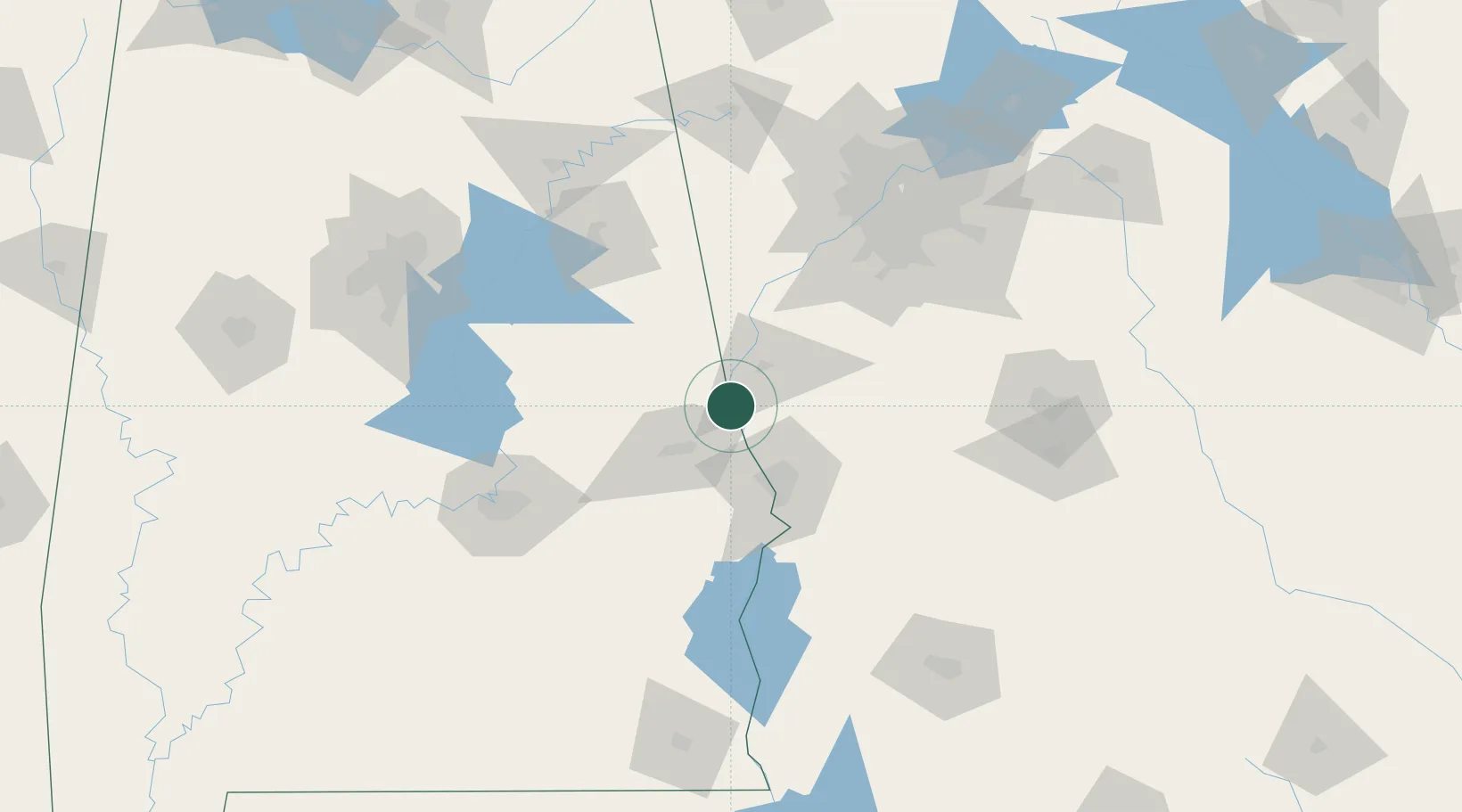
Location
Nearby Logistics Neighbours
Cities
- 1West Point2 km
- 2Cusseta10 km
- 3Lafayette21 km
- 4LaGrange26 km
- 5Salem30 km
Ports
- 1Panama City305 km
- 2Pensacola334 km
- 3Carrabelle337 km
- 4Port St Joe338 km
- 5Apalachicola349 km
Airports
Trade Zones
- 1FTZ No. 222 Montgomery118 km
- 2FTZ No. 026 Atlanta125 km
- 3FTZ No. 098 Birmingham169 km
- 4FTZ No. 233 Dothan182 km
- 5FTZ No. 083 Huntsville248 km
DatabookThe Record of Consolidated Knowledge
United States beyond logistics?