UN/LOCODE hub · United States
USYTF
Lafayette
32.9000°, -85.4000°
3,003
Population
2
Transport functions
Transport Functions
Rail
Road
Hub Profile
Place type
Provincial seat
Region
Alabama
Population
3,003
Time zone
America/Chicago
Elevation
257 m
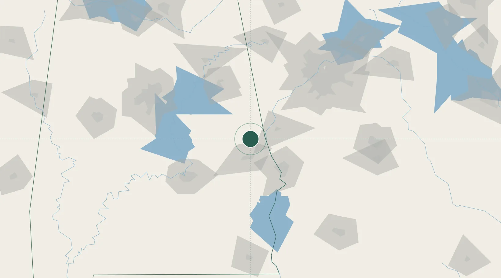
Location
Nearby Logistics Neighbours
Cities
- 1Cusseta19 km
- 2West Point21 km
- 3Lanett21 km
- 4Camp Hill26 km
- 5Roanoke28 km
Ports
- 1Panama City309 km
- 2Pensacola327 km
- 3Port St Joe343 km
- 4Carrabelle346 km
- 5Mobile356 km
Airports
- 1Columbus Airport61 km
- 2Lawson Army Air Field74 km
- 3Anniston Regional Airport88 km
- 4Maxwell Air Force Base107 km
- 5Montgomery Regional (Dannelly Field) Airport115 km
Trade Zones
- 1FTZ No. 222 Montgomery103 km
- 2FTZ No. 026 Atlanta134 km
- 3FTZ No. 098 Birmingham148 km
- 4FTZ No. 233 Dothan186 km
- 5FTZ No. 083 Huntsville232 km
DatabookThe Record of Consolidated Knowledge
United States beyond logistics?