Transport Functions
Multimodal
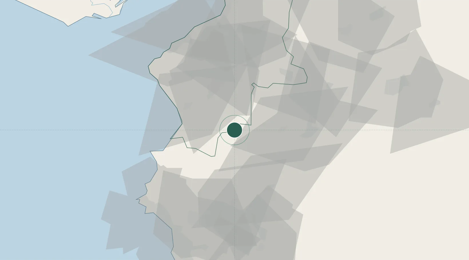
Hub Profile
Place type
Populated place
Region
Hatay
Time zone
Europe/Istanbul
Elevation
486 m
Location
Nearby Logistics Neighbours
Cities
- 1Harbiye22 km
- 2Brummana59 km
- 3Latakia66 km
- 4Al Ladhiqiyah66 km
- 5Iskenderun74 km
Ports
- 1Al Ladhiqiyah66 km
- 2Iskenderun71 km
- 3Yakacik84 km
- 4Baniyas91 km
- 5Botas106 km
Airports
- 1Hatay Airport44 km
- 2Latakia International Airport69 km
- 3Abu ad Duhur Air Base80 km
- 4Aleppo International Airport90 km
- 5İncirlik Air Base138 km
Trade Zones
DatabookThe Record of Consolidated Knowledge
Türkiye beyond logistics?