Transport Functions
Port
Road
Multimodal
Hub Profile
Region
JL
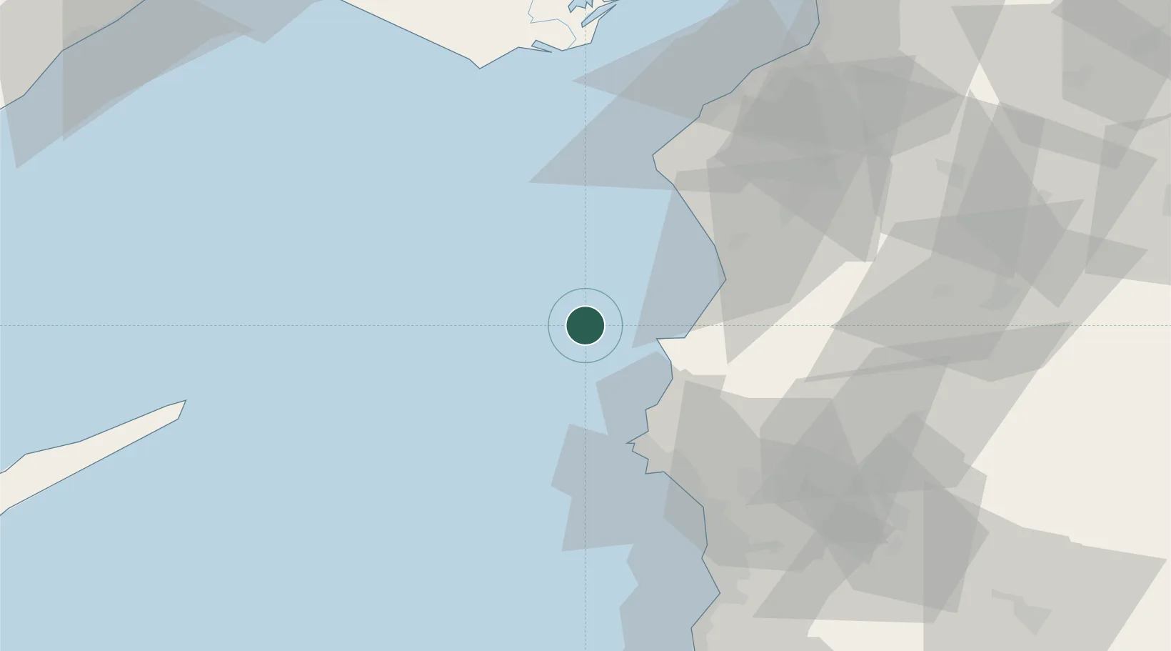
Location
Nearby Logistics Neighbours
Cities
- 1Latakia42 km
- 2Al Ladhiqiyah44 km
- 3Harbiye54 km
- 4Kuyubasi59 km
- 5Karatas77 km
Ports
- 1Al Ladhiqiyah41 km
- 2Baniyas83 km
- 3Iskenderun94 km
- 4Yakacik106 km
- 5Tartus112 km
Airports
- 1Latakia International Airport61 km
- 2Hatay Airport80 km
- 3Çukurova International Airport122 km
- 4İncirlik Air Base126 km
- 5Adana Şakirpaşa Airport126 km
Trade Zones
DatabookThe Record of Consolidated Knowledge
Lebanon beyond logistics?