Medium airport · Türkiye
Hatay AirportLTDA
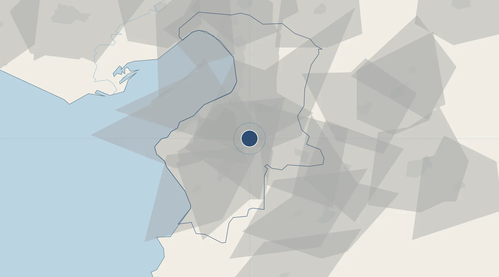
36.3628°, 36.2822°
6,830 ft
Longest runway
1
Runways
269 ft
Elevation
Runway & Layout

Runways · 1
| Runway | Dimensions | Surface | True heading | Lit |
|---|---|---|---|---|
| 04/22 | 6,830 × 148ft | Concrete | 042° | ✓ |
Airport Specifications
IATA code
HTY
ICAO code
LTDA
Airport class
Medium airport
Scheduled service
Yes
Runway surface
Concrete
Served city
Antakya
Location
Nearby Logistics Neighbours
Airports
- 1Aleppo International Airport87 km
- 2Abu ad Duhur Air Base102 km
- 3İncirlik Air Base104 km
- 4Latakia International Airport111 km
- 5Adana Şakirpaşa Airport113 km
Cities
- 1Harbiye29 km
- 2Iskenderun30 km
- 3Sariseki34 km
- 4Isdemir40 km
- 5Kuyubasi44 km
Ports
- 1Iskenderun28 km
- 2Yakacik40 km
- 3Botas66 km
- 4Toros Gubre68 km
- 5Al Ladhiqiyah103 km
Trade Zones
DatabookThe Record of Consolidated Knowledge
Türkiye beyond logistics?