Seaport · Vanuatu
Port VilaVUVLI
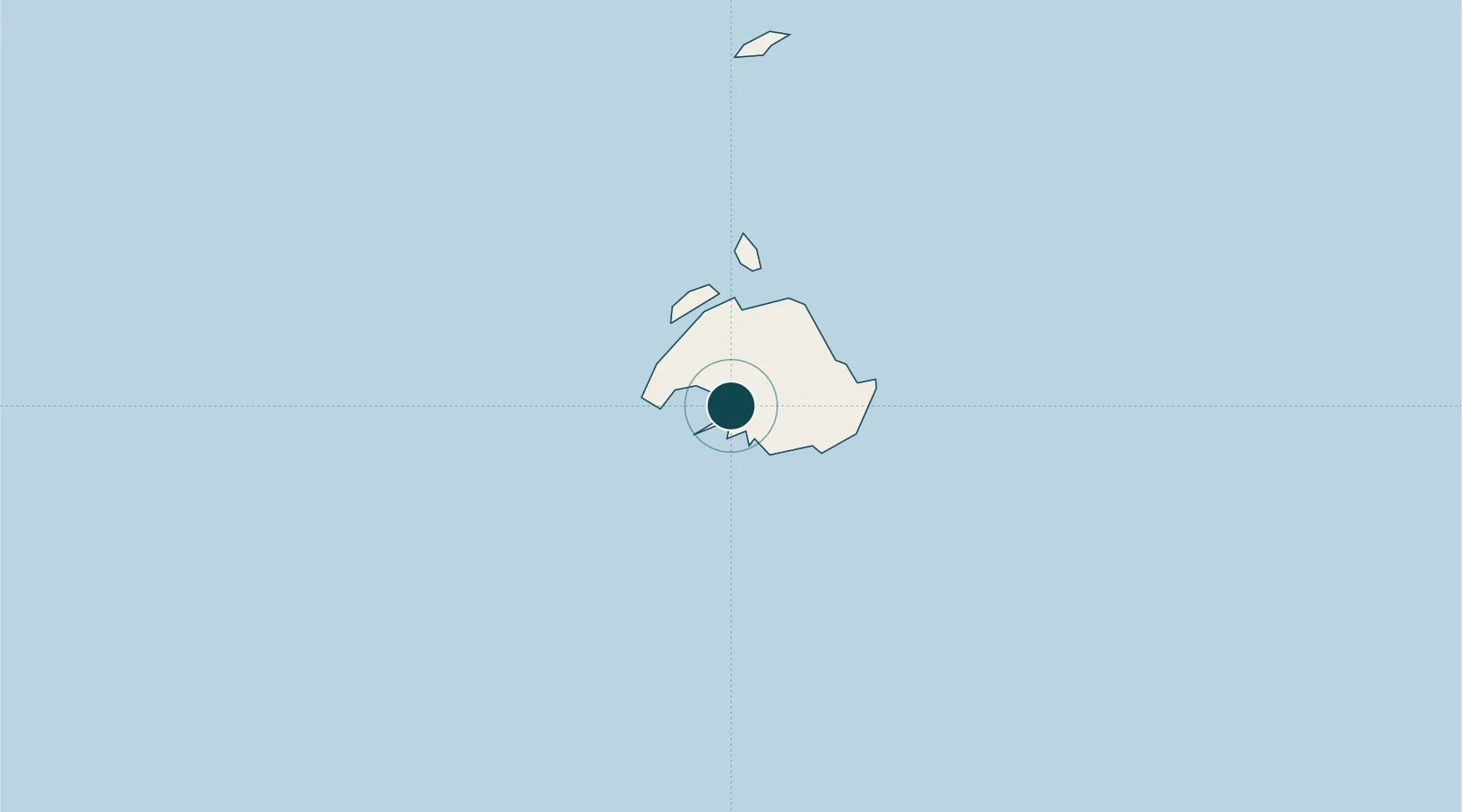
-17.7333°, 168.3167°
11.0 m
Channel depth
1
Container terminals
49.5
Port liner connectivity
Channel & Berth Profile
Pilotage, Tugs & Services
Pilotage compulsoryYES
Pilotage availableYES
Tug assistanceYES
Potable waterYES
MedicalYES
Facilities & Capabilities
Container—
Ro-Ro—
Liquid bulk—
Dry bulk—
Oil terminal—
Break bulk—
Dry dock—
RepairsNO
BunkeringYES
Rail link—
Dangerous cargo—
ISPS security—
Harbour Specifications
Harbour size
Very Small
Harbour type
Coastal (Breakwater)
Shelter
Excellent
Water body
Coral Sea; South Pacific Ocean
Tidal range
1 m
Overhead limit
Yes
Pilotage
Yes
Liner Connectivity
49.5
PLSCI
Port Liner Shipping Connectivity Index for Port Vila, as published by UNCTAD for the latest available quarter. Higher values indicate stronger scheduled liner-shipping integration.
Shown relative to the highest per-port PLSCI in the dataset (1,657.9).
Location
Container Terminals · 1
PORT VILA - LAPETASI INTERNATIONAL CT (LICT)
LICT IFIRA PORTS DEVELOPMENT & SERVICES CO. LTD. (IPDS)
Nearby Logistics Neighbours
Ports
- 1Luganville275 km
- 2Baie Ugue478 km
- 3Baie De Kouaoua483 km
- 4Noumea543 km
- 5Lautoka Harbor968 km
Cities
- 1Havannah Harbour19 km
- 2Luganville274 km
- 3Lifou377 km
- 4Maré420 km
- 5Poro481 km
Airports
- 1Bauerfield International Airport4 km
- 2Tongoa Airport97 km
- 3Valesdir Airport105 km
- 4Lamen Bay Airport129 km
- 5Tavie Airport145 km
Trade Zones
- 1Vanuatu Economic Development Zone276 km
- 2Lautoka Special Zone966 km
- 3Rotuma-Kadavu Tax-Free Region1070 km
- 4Kalabu Tax Free Zone1076 km
- 5Nausori-Ba Tax-Free Region1080 km
DatabookThe Record of Consolidated Knowledge
Vanuatu beyond logistics?