Transport Functions
Port
Road
Hub Profile
Place type
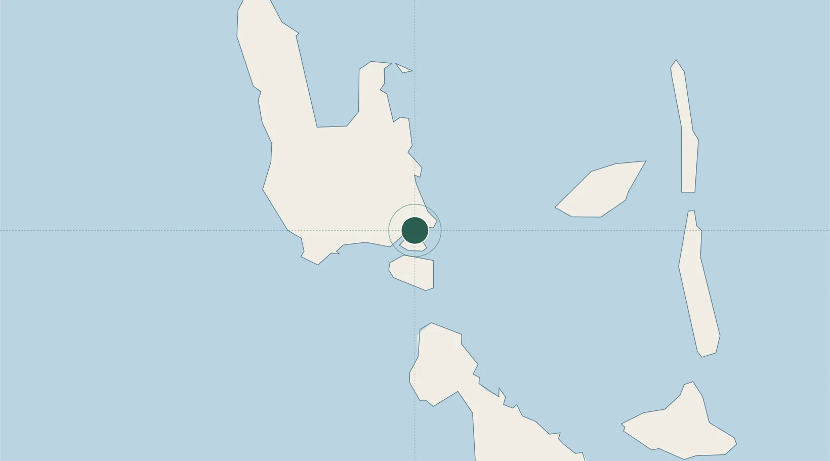
Regional capital
Region
Sanma
Population
13,397
Time zone
Pacific/Efate
Elevation
8 m
Location
Nearby Logistics Neighbours
Cities
- 1Havannah Harbour255 km
- 2Nemba553 km
- 3Lata556 km
- 4Wala596 km
- 5Lifou604 km
Ports
- 1Port Vila274 km
- 2Baie Ugue647 km
- 3Baie De Kouaoua666 km
- 4Noumea755 km
- 5Honiara1037 km
Airports
- 1Santo Pekoa International Airport7 km
- 2Walaha Airport58 km
- 3Norsup Airport66 km
- 4Longana Airport89 km
- 5North West Santo Airport98 km
Trade Zones
- 1Vanuatu Economic Development Zone3 km
- 2Tulagi Island Special Economic Zone1046 km
- 3Lautoka Special Zone1119 km
- 4Rotuma-Kadavu Tax-Free Region1232 km
- 5Kalabu Tax Free Zone1237 km
DatabookThe Record of Consolidated Knowledge
Vanuatu beyond logistics?