Small airport · Vanuatu
Sola AirportNVSC
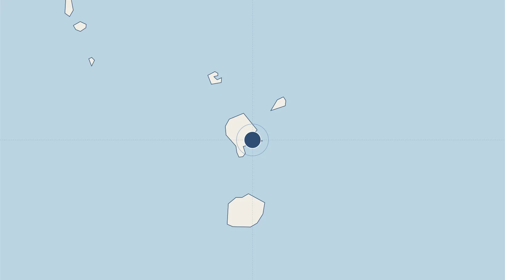
-13.8517°, 167.5370°
2,723 ft
Longest runway
1
Runways
7 ft
Elevation
Runway & Layout

Runways · 1
| Runway | Dimensions | Surface | True heading | Lit |
|---|---|---|---|---|
| 15/33 | 2,723 × 98ft | Grass | — | — |
Airport Specifications
IATA code
SLH
ICAO code
NVSC
Airport class
Small airport
Scheduled service
Yes
Runway surface
Grass
Served city
Sola
Location
Nearby Logistics Neighbours
Airports
- 1Gaua Island Airport41 km
- 2North West Santo Airport156 km
- 3Longana Airport168 km
- 4Walaha Airport174 km
- 5Santo Pekoa International Airport187 km
Cities
- 1Luganville191 km
- 2Lata396 km
- 3Nemba397 km
- 4Havannah Harbour422 km
- 5Wala772 km
Ports
- 1Luganville189 km
- 2Port Vila440 km
- 3Baie Ugue838 km
- 4Baie De Kouaoua857 km
- 5Noumea945 km
Trade Zones
- 1Vanuatu Economic Development Zone188 km
- 2Tulagi Island Special Economic Zone964 km
- 3Lautoka Special Zone1139 km
- 4Rotuma-Kadavu Tax-Free Region1257 km
- 5Kalabu Tax Free Zone1261 km
DatabookThe Record of Consolidated Knowledge
Vanuatu beyond logistics?