Free Trade Zone · Fiji
Vanua Levu Tax-Free Region Active
-16.6228°, 179.0062°
38.3 km
Nearest port
39.6 km
Nearest airport
Gateway access
Zone profile
Zone type
Free Trade Zone
Region
Northern
Status
Active
Management
Public
Operator
Fiji Revenue and Customs Authority
Legal framework
Legal Notice No. 56 on Tax Free Region Incentives
Location
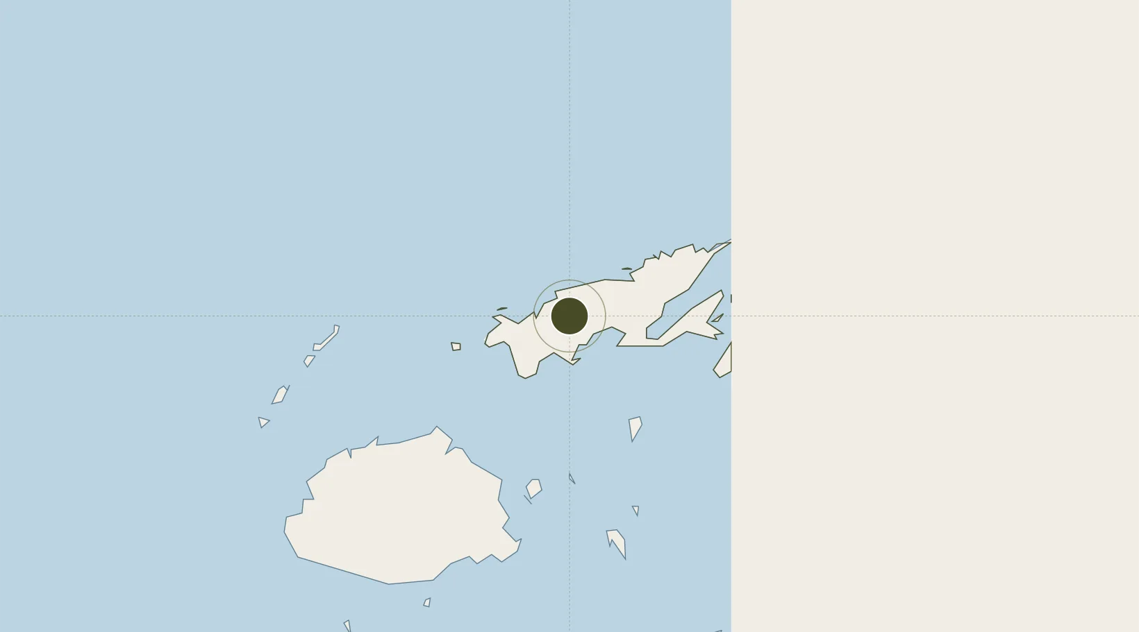
Nearby Logistics Neighbours
Ports
- 1Savusavu Bay38 km
- 2Suva Harbor179 km
- 3Lautoka Harbor198 km
- 4Funafuti Atoll902 km
- 5Port Vila1142 km
Airports
- 1Labasa Airport40 km
- 2Savusavu Airport41 km
- 3Koro Island Airport92 km
- 4Levuka Airfield124 km
- 5Yasawa Island Airport156 km
Cities
- 1Labasa46 km
- 2Wairiki49 km
- 3Malau (Labasa)49 km
- 4Nambouwalu52 km
- 5Ellington Wharf117 km
Trade Zones
- 1Savusavu Industrial Zone39 km
- 2Nausori-Ba Tax-Free Region164 km
- 3Kalabu Tax Free Zone172 km
- 4Rotuma-Kadavu Tax-Free Region180 km
- 5Lautoka Special Zone200 km
DatabookThe Record of Consolidated Knowledge
Fiji beyond logistics?