Medium airport · Vanuatu
Gaua Island AirportNVSQ
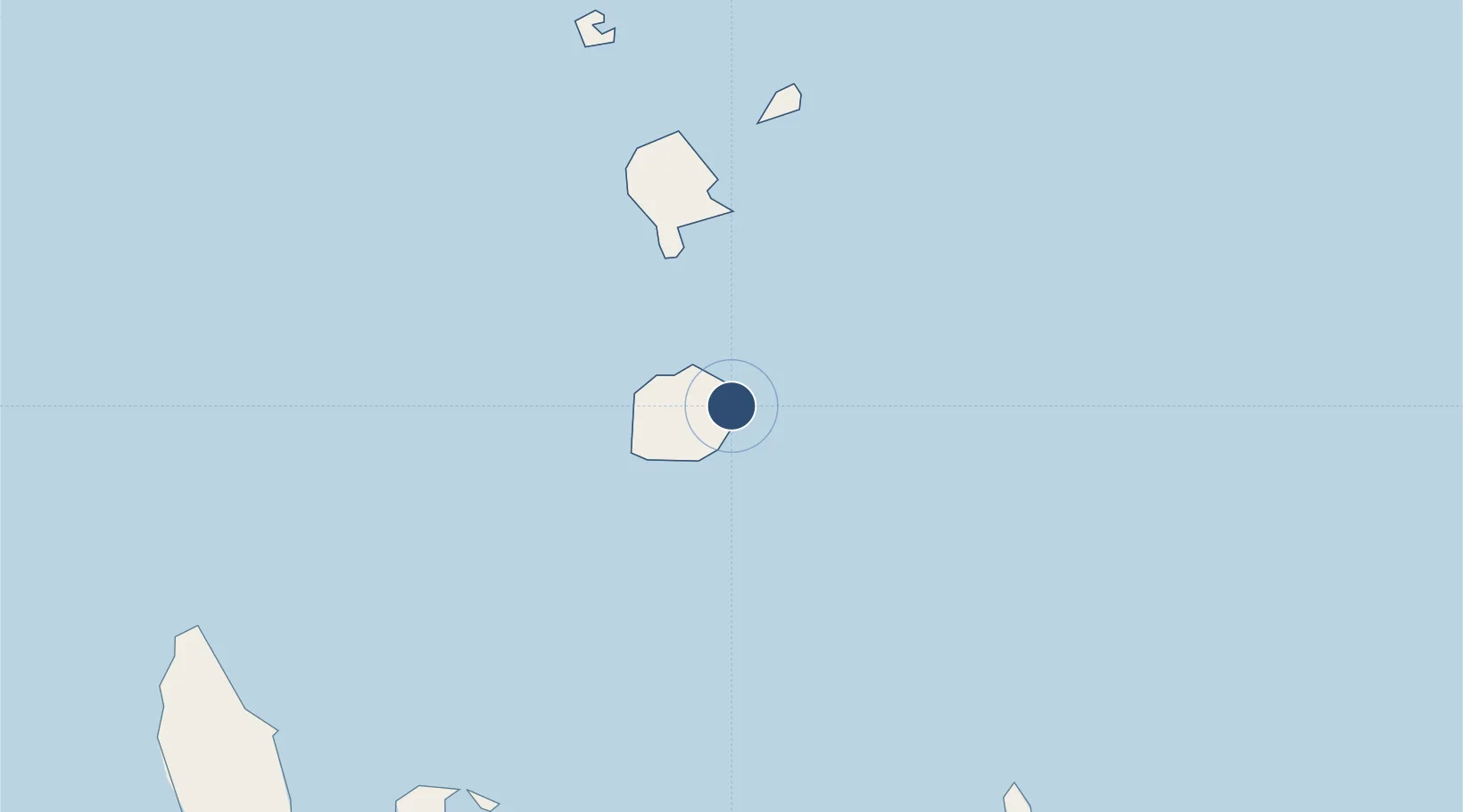
-14.2181°, 167.5870°
2,802 ft
Longest runway
1
Runways
100 ft
Elevation
Runway & Layout

Runways · 1
| Runway | Dimensions | Surface | True heading | Lit |
|---|---|---|---|---|
| 13/31 | 2,802 × 59ft | Grass | — | — |
Airport Specifications
IATA code
ZGU
ICAO code
NVSQ
Airport class
Medium airport
Scheduled service
No
Runway surface
Grass
Served city
Gaua Island
Location
Nearby Logistics Neighbours
Airports
- 1Sola Airport41 km
- 2Longana Airport128 km
- 3North West Santo Airport133 km
- 4Walaha Airport133 km
- 5Santo Pekoa International Airport148 km
Cities
- 1Luganville153 km
- 2Havannah Harbour381 km
- 3Lata435 km
- 4Nemba435 km
- 5Wala741 km
Ports
- 1Luganville151 km
- 2Port Vila399 km
- 3Baie Ugue800 km
- 4Baie De Kouaoua818 km
- 5Noumea905 km
Trade Zones
- 1Vanuatu Economic Development Zone150 km
- 2Tulagi Island Special Economic Zone991 km
- 3Lautoka Special Zone1119 km
- 4Rotuma-Kadavu Tax-Free Region1236 km
- 5Kalabu Tax Free Zone1240 km
DatabookThe Record of Consolidated Knowledge
Vanuatu beyond logistics?