Seaport · Vanuatu
LuganvilleVULUG
-15.5167°, 167.1667°
12.5 m
Channel depth
10.4
Port liner connectivity
Channel & Berth Profile
Pilotage, Tugs & Services
Pilotage compulsoryYES
Tug assistanceYES
Potable waterYES
Diesel bunkersYES
MedicalYES
Facilities & Capabilities
Container—
Ro-Ro—
Liquid bulk—
Dry bulk—
Oil terminal—
Break bulk—
Dry dock—
RepairsNO
BunkeringYES
Rail link—
Dangerous cargo—
ISPS security—
Harbour Specifications
Harbour size
Small
Harbour type
Coastal (Natural)
Shelter
Good
Water body
South Pacific Ocean
Tidal range
1 m
Pilotage
Yes
Liner Connectivity
10.4
PLSCI
Port Liner Shipping Connectivity Index for Luganville, as published by UNCTAD for the latest available quarter. Higher values indicate stronger scheduled liner-shipping integration.
Shown relative to the highest per-port PLSCI in the dataset (1,657.9).
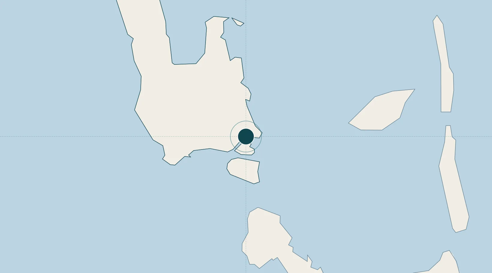
Location
Nearby Logistics Neighbours
Ports
- 1Port Vila275 km
- 2Baie Ugue649 km
- 3Baie De Kouaoua668 km
- 4Noumea756 km
- 5Honiara1036 km
Cities
- 1Havannah Harbour256 km
- 2Nemba552 km
- 3Lata554 km
- 4Wala597 km
- 5Lifou606 km
Airports
- 1Santo Pekoa International Airport6 km
- 2Walaha Airport57 km
- 3Norsup Airport67 km
- 4Longana Airport89 km
- 5North West Santo Airport96 km
Trade Zones
- 1Vanuatu Economic Development Zone1 km
- 2Tulagi Island Special Economic Zone1045 km
- 3Lautoka Special Zone1119 km
- 4Rotuma-Kadavu Tax-Free Region1233 km
- 5Kalabu Tax Free Zone1238 km
DatabookThe Record of Consolidated Knowledge
Vanuatu beyond logistics?