Heliport · United States
Diomede HeliportDM2
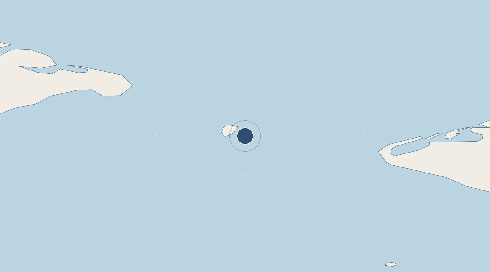
65.7584°, -168.9537°
64 ft
Longest runway
1
Runways
20 ft
Elevation
Runway & Layout

Runways · 1
| Runway | Dimensions | Surface | True heading | Lit |
|---|---|---|---|---|
| H1 | 64 × 64ft | CONC-E | — | — |
Airport Specifications
IATA code
DIO
ICAO code
PPDM
Airport class
Heliport
Scheduled service
Yes
Runway surface
CONC-E
Served city
Diomede
Location
Nearby Logistics Neighbours
Airports
- 1Wales Airport42 km
- 2Tin City Long Range Radar Station Airport52 km
- 3Port Clarence Coast Guard Station112 km
- 4Brevig Mission Airport124 km
- 5Teller Airport134 km
Cities
- 1Uelen60 km
- 2Lavrentiya96 km
- 3Sledge Island192 km
- 4Provideniya, Bukhta255 km
- 5Vankarem380 km
Ports
- 1Shishmaref141 km
- 2Nome217 km
- 3Savoonga241 km
- 4Provideniya249 km
- 5Solomon252 km
Trade Zones
- 1FTZ No. 195 Fairbanks987 km
- 2FTZ No. 160 Anchorage1065 km
- 3FTZ No. 232 Kodiak1219 km
- 4FTZ No. 108 Valdez1226 km
- 5PrInce George Logistics Park2811 km
DatabookThe Record of Consolidated Knowledge
United States beyond logistics?