Medium airport · United States
Port Clarence Coast Guard StationPAPC
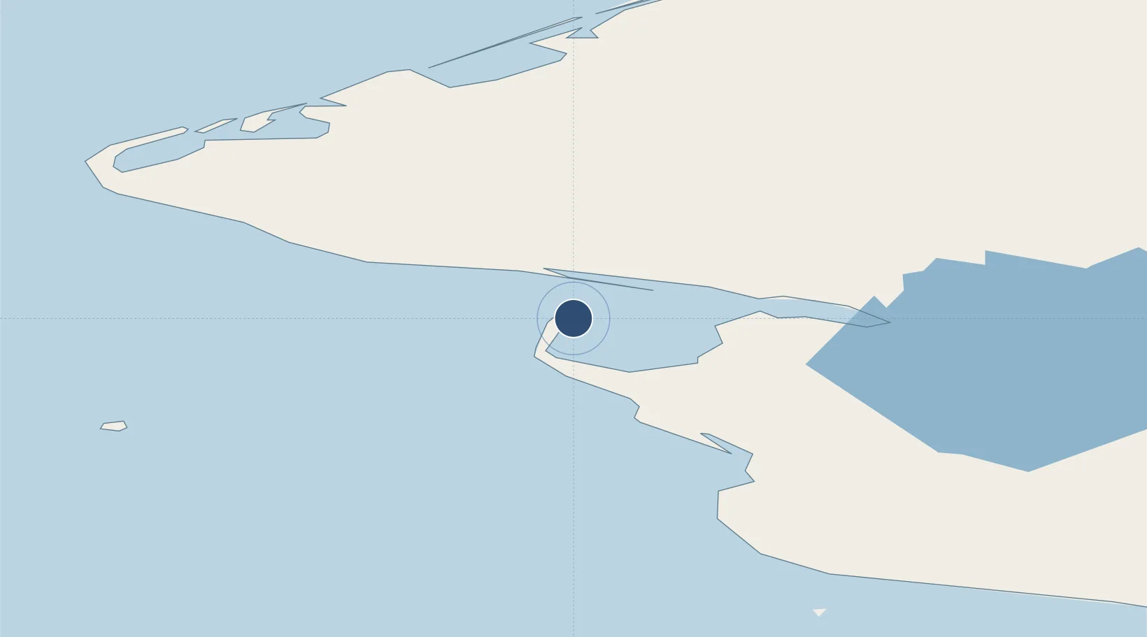
65.2537°, -166.8590°
4,497 ft
Longest runway
1
Runways
10 ft
Elevation
Runway & Layout

Radio Frequencies
RDO
569.6 MHz
UNIC
122.8 MHz
CTAF/UNICOM
Runways · 1
| Runway | Dimensions | Surface | True heading | Lit |
|---|---|---|---|---|
| 16/34 | 4,497 × 120ft | ASPH | — | — |
Airport Specifications
IATA code
KPC
ICAO code
PAPC
Airport class
Medium airport
Scheduled service
No
Runway surface
ASPH
Served city
Port Clarence
Location
Nearby Logistics Neighbours
Airports
- 1Brevig Mission Airport20 km
- 2Teller Airport24 km
- 3Tin City Long Range Radar Station Airport60 km
- 4Wales Airport70 km
- 5Nome Airport106 km
Cities
- 1Sledge Island91 km
- 2Uelen169 km
- 3Lavrentiya195 km
- 4Provideniya, Bukhta320 km
- 5Vankarem490 km
Ports
- 1Nome108 km
- 2Shishmaref116 km
- 3Solomon140 km
- 4Deering210 km
- 5Savoonga243 km
Trade Zones
- 1FTZ No. 195 Fairbanks896 km
- 2FTZ No. 160 Anchorage956 km
- 3FTZ No. 232 Kodiak1110 km
- 4FTZ No. 108 Valdez1119 km
- 5PrInce George Logistics Park2709 km
DatabookThe Record of Consolidated Knowledge
United States beyond logistics?