Seaport · Russia
ProvideniyaRUPVS
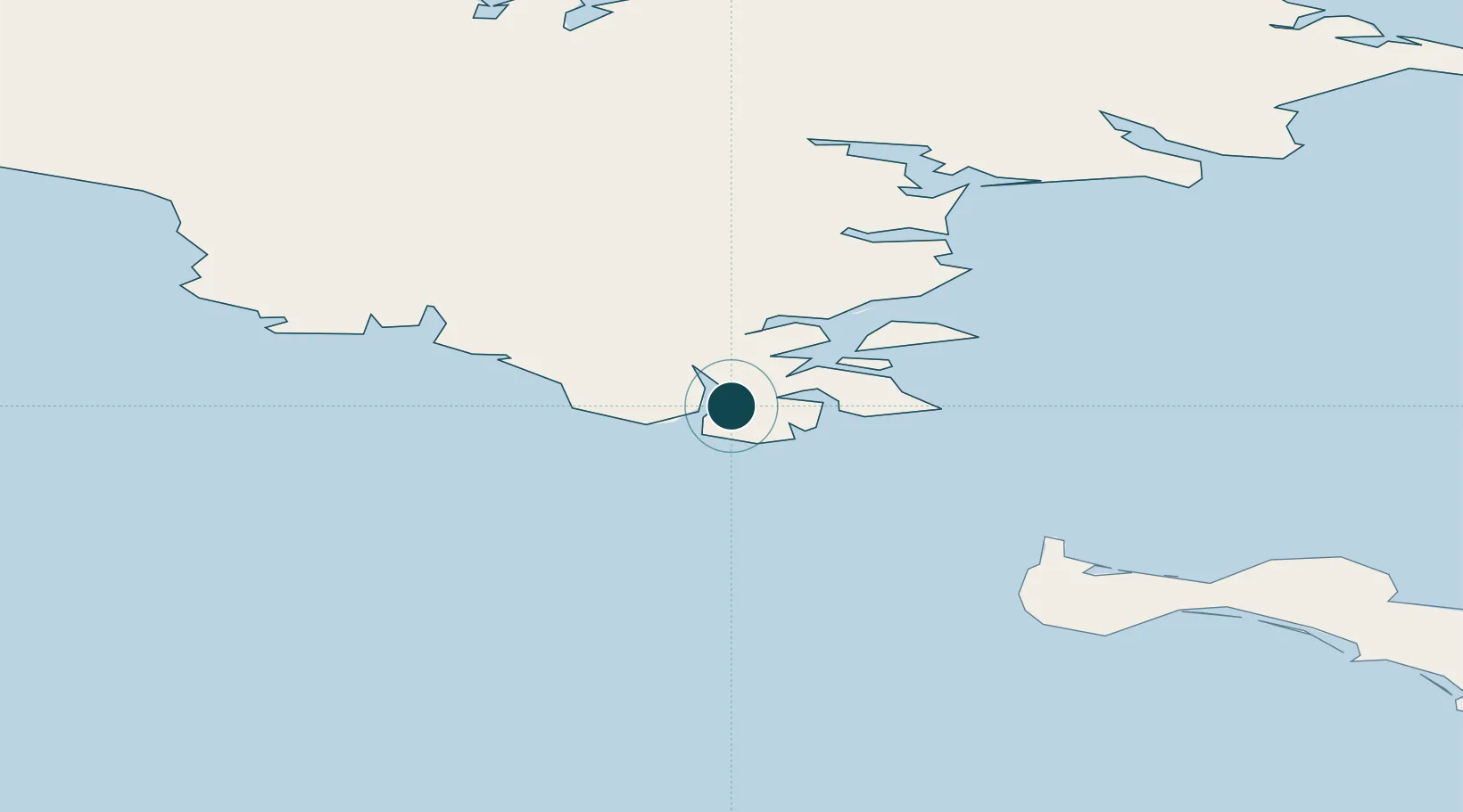
64.4211°, -173.2275°
23.2 m
Channel depth
8.0
Port liner connectivity
Channel & Berth Profile
Pilotage, Tugs & Services
Pilotage compulsoryYES
Pilotage availableYES
Pilotage advisableYES
Tug assistanceYES
Potable waterYES
Diesel bunkersYES
Facilities & Capabilities
ContainerYES
Ro-Ro—
Liquid bulkYES
Dry bulkYES
Oil terminal—
Break bulkYES
Dry dock—
RepairsNO
BunkeringYES
Rail linkNO
Dangerous cargo—
ISPS security—
Harbour Specifications
Harbour size
Very Small
Harbour type
Coastal (Natural)
Shelter
Good
Water body
Anadyrskiy Zaliv; Bering Sea; North Pacific Ocean
Tidal range
2.5 m
Overhead limit
No
Pilotage
Yes
Liner Connectivity
8
PLSCI
Port Liner Shipping Connectivity Index for Provideniya, as published by UNCTAD for the latest available quarter. Higher values indicate stronger scheduled liner-shipping integration.
Shown relative to the highest per-port PLSCI in the dataset (1,657.9).
Location
Nearby Logistics Neighbours
Ports
- 1Savoonga160 km
- 2Nome374 km
- 3Shishmaref389 km
- 4Solomon423 km
- 5Kotlik500 km
Cities
- 1Lavrentiya166 km
- 2Uelen251 km
- 3Sledge Island337 km
- 4Vankarem398 km
- 5Mys Shmidta566 km
Airports
- 1Provideniya Bay Airport5 km
- 2Gambell Airport103 km
- 3Savoonga Airport156 km
- 4Diomede Heliport249 km
- 5Wales Airport275 km
Trade Zones
- 1FTZ No. 195 Fairbanks1208 km
- 2FTZ No. 160 Anchorage1229 km
- 3FTZ No. 232 Kodiak1300 km
- 4FTZ No. 108 Valdez1403 km
- 5PrInce George Logistics Park3006 km
DatabookThe Record of Consolidated Knowledge
Russia beyond logistics?