Transport Functions
Port
Road
Hub Profile
Place type
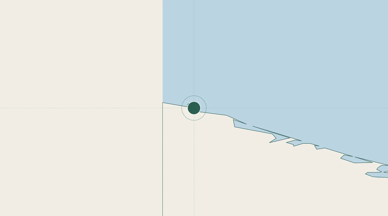
Populated place
Region
Chukotka
Time zone
Asia/Anadyr
Location
Nearby Logistics Neighbours
Cities
- 1Vankarem187 km
- 2Uelen507 km
- 3Lavrentiya515 km
- 4Provideniya, Bukhta568 km
- 5Sledge Island758 km
Ports
- 1Provideniya566 km
- 2Shishmaref636 km
- 3Savoonga704 km
- 4Kotzebue735 km
- 5Deering773 km
Airports
- 1Point Hope Airport515 km
- 2Cape Lisburne LRRS Airport533 km
- 3Diomede Heliport567 km
- 4Provideniya Bay Airport570 km
- 5Wales Airport606 km
Trade Zones
- 1FTZ No. 195 Fairbanks1438 km
- 2FTZ No. 160 Anchorage1602 km
- 3FTZ No. 108 Valdez1746 km
- 4FTZ No. 232 Kodiak1786 km
- 5PrInce George Logistics Park3279 km
DatabookThe Record of Consolidated Knowledge
Russia beyond logistics?