Medium airport · United States
Cape Lisburne LRRS AirportPALU
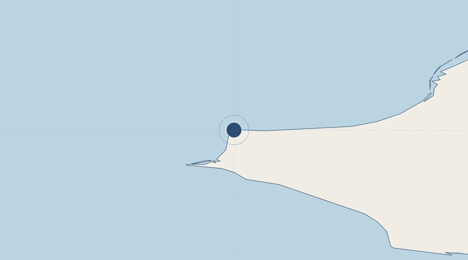
68.8751°, -166.1100°
4,800 ft
Longest runway
1
Runways
16 ft
Elevation
Runway & Layout

Radio Frequencies
CNTR
119.65 MHz
ANCHORAGE CNTR
FSS
122.3 MHz
KOTZEBUE RDO
UNIC
126.2 MHz
CTAF/UNICOM
Navaids
LUR NDB-DME Cape Lisburne 0.39 MHz
Runways · 1
| Runway | Dimensions | Surface | True heading | Lit |
|---|---|---|---|---|
| 09/27 | 4,800 × 135ft | Gravel | 101° | — |
Airport Specifications
IATA code
LUR
ICAO code
PALU
Airport class
Medium airport
Scheduled service
Yes
Runway surface
Gravel
Served city
Cape Lisburne
Location
Nearby Logistics Neighbours
Airports
- 1Point Hope Airport65 km
- 2Kivalina Airport142 km
- 3Point Lay LRRS Airport155 km
- 4Noatak Airport195 km
- 5Ralph Wien Memorial Airport266 km
Cities
- 1Uelen340 km
- 2Vankarem416 km
- 3Lavrentiya422 km
- 4Point Barrow446 km
- 5Sledge Island488 km
Ports
- 1Kotzebue263 km
- 2Shishmaref292 km
- 3Wainwright307 km
- 4Deering342 km
- 5Barrow443 km
Trade Zones
- 1FTZ No. 195 Fairbanks915 km
- 2FTZ No. 160 Anchorage1133 km
- 3FTZ No. 108 Valdez1255 km
- 4FTZ No. 232 Kodiak1407 km
- 5PrInce George Logistics Park2752 km
DatabookThe Record of Consolidated Knowledge
United States beyond logistics?