Small airport · United States
Point Hope AirportPAPO
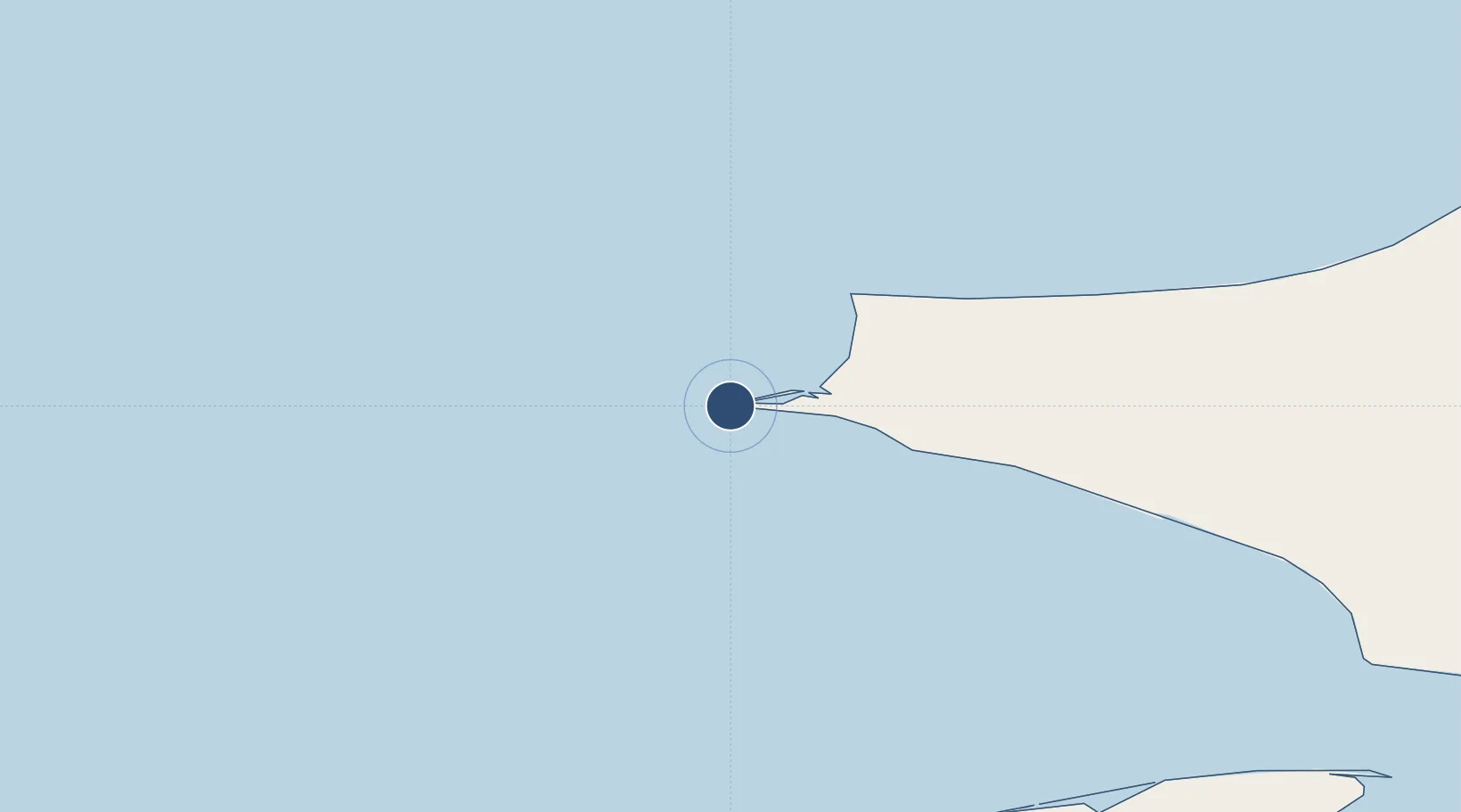
68.3488°, -166.7990°
4,000 ft
Longest runway
1
Runways
12 ft
Elevation
Runway & Layout

Navaids
PHO NDB Point Hope 221 kHz
Runways · 1
| Runway | Dimensions | Surface | True heading | Lit |
|---|---|---|---|---|
| 03/21 | 4,000 × 75ft | ASPH-F | 022° | ✓ |
Airport Specifications
IATA code
PHO
ICAO code
PAPO
Airport class
Small airport
Scheduled service
Yes
Runway surface
ASPH-F
Served city
Point Hope
Location
Nearby Logistics Neighbours
Airports
- 1Cape Lisburne LRRS Airport65 km
- 2Kivalina Airport116 km
- 3Noatak Airport182 km
- 4Point Lay LRRS Airport216 km
- 5Shishmaref Airport235 km
Cities
- 1Uelen275 km
- 2Lavrentiya358 km
- 3Vankarem380 km
- 4Sledge Island431 km
- 5Point Barrow506 km
Ports
- 1Shishmaref235 km
- 2Kotzebue239 km
- 3Deering307 km
- 4Wainwright368 km
- 5Nome432 km
Trade Zones
- 1FTZ No. 195 Fairbanks924 km
- 2FTZ No. 160 Anchorage1118 km
- 3FTZ No. 108 Valdez1248 km
- 4FTZ No. 232 Kodiak1374 km
- 5PrInce George Logistics Park2765 km
DatabookThe Record of Consolidated Knowledge
United States beyond logistics?