UN/LOCODE hub · Norway
NOVEY

Værøy

67.6500°, 12.7000°
1
Transport functions

Transport Functions

Port
UN/LOCODE

Hub Profile

Region
18
GeoNames

Location

Location of NOVEY
Natural Earth 10m (public domain) · 18 · NOVEY · 67.65, 12.70GoogleOSMYandex

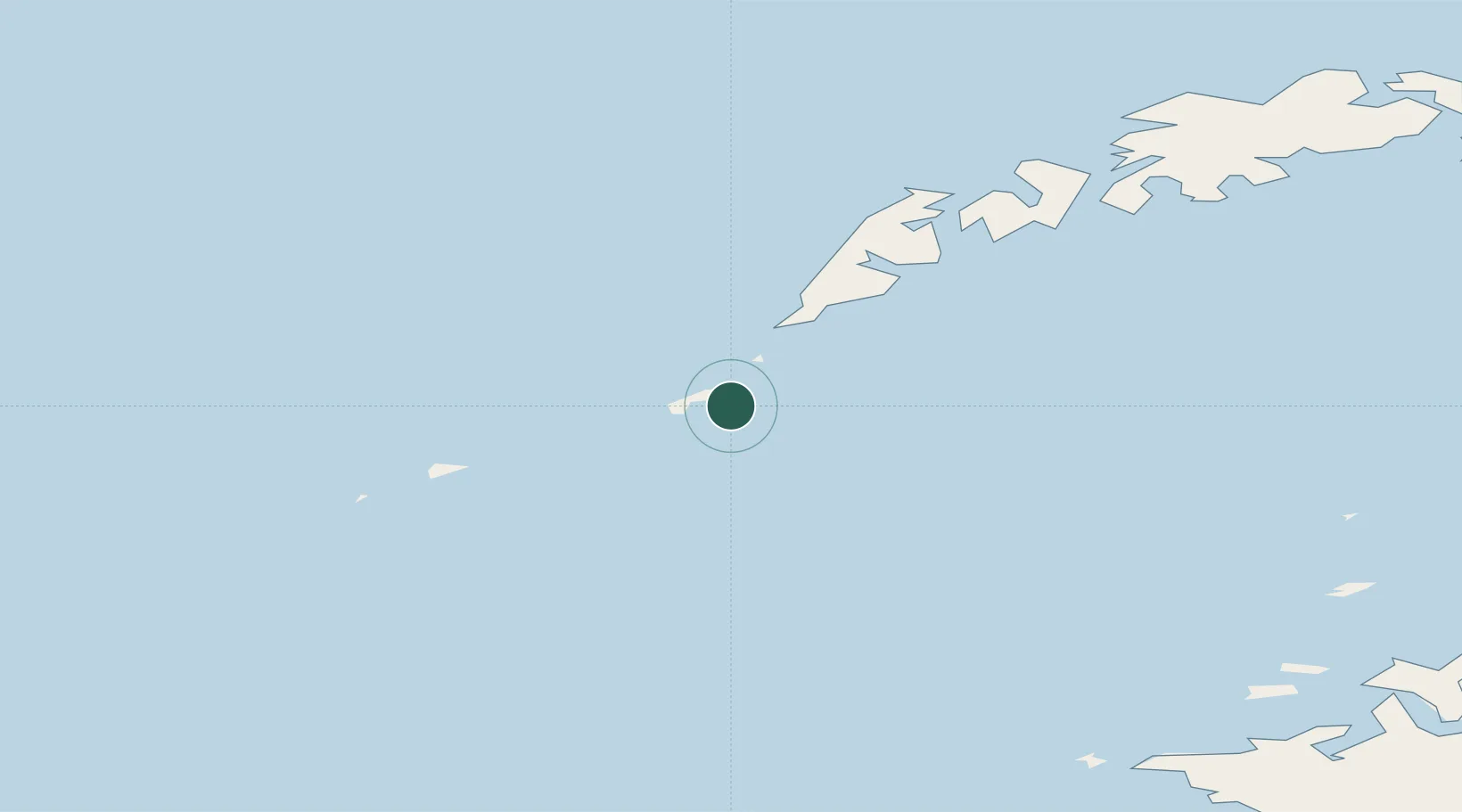
Nearby Logistics Neighbours

Cities
  1. 1Røst28 km
  2. 2Å i Lofoten29 km
  3. 3Moskenes30 km
  4. 4Helligvær45 km
  5. 5Nusfjord51 km
Nearest neighbours — logibook spatial index (haversine) over the source coordinates
Ports
  1. 1Reine36 km
  2. 2Ballstad63 km
  3. 3Stamsund71 km
  4. 4Bodo82 km
  5. 5Henningsvaer85 km
Nearest neighbours — logibook spatial index (haversine) over the source coordinates
Airports
  1. 1Værøy Heliport1 km
  2. 2Røst Airport29 km
  3. 3Leknes Airport68 km
  4. 4Bodø Airport83 km
  5. 5Svolvær Airport, Helle105 km
Nearest neighbours — logibook spatial index (haversine) over the source coordinates
Trade Zones
  1. 1Oulu Port Free Warehouse Area638 km
  2. 2Turku Free Zone923 km
  3. 3Stockholm Free Zone961 km
  4. 4Freeport of Hanko1001 km
  5. 5Paldiski Free Zone1080 km
Nearest neighbours — logibook spatial index (haversine) over the source coordinates
DatabookThe Record of Consolidated Knowledge
Norway beyond logistics?
Browse databook

All Sources

LocationsUN/LOCODE
UN/LOCODE — free
Portsthe NGA World Port Index
Public domain (US gov)
AirportsOurAirports
Public domain
Trade Zonesthe World Bank SEZ database
CC BY 4.0
Trade ZonesOpen Zone Map
CC BY
← Norway locations