UN/LOCODE hub · Norway
NORET

Røst

67.5167°, 12.1333°
2
Transport functions

Transport Functions

Port
Airport
UN/LOCODE

Hub Profile

Region
18
GeoNames

Location

Location of NORET
Natural Earth 10m (public domain) · 18 · NORET · 67.52, 12.13GoogleOSMYandex

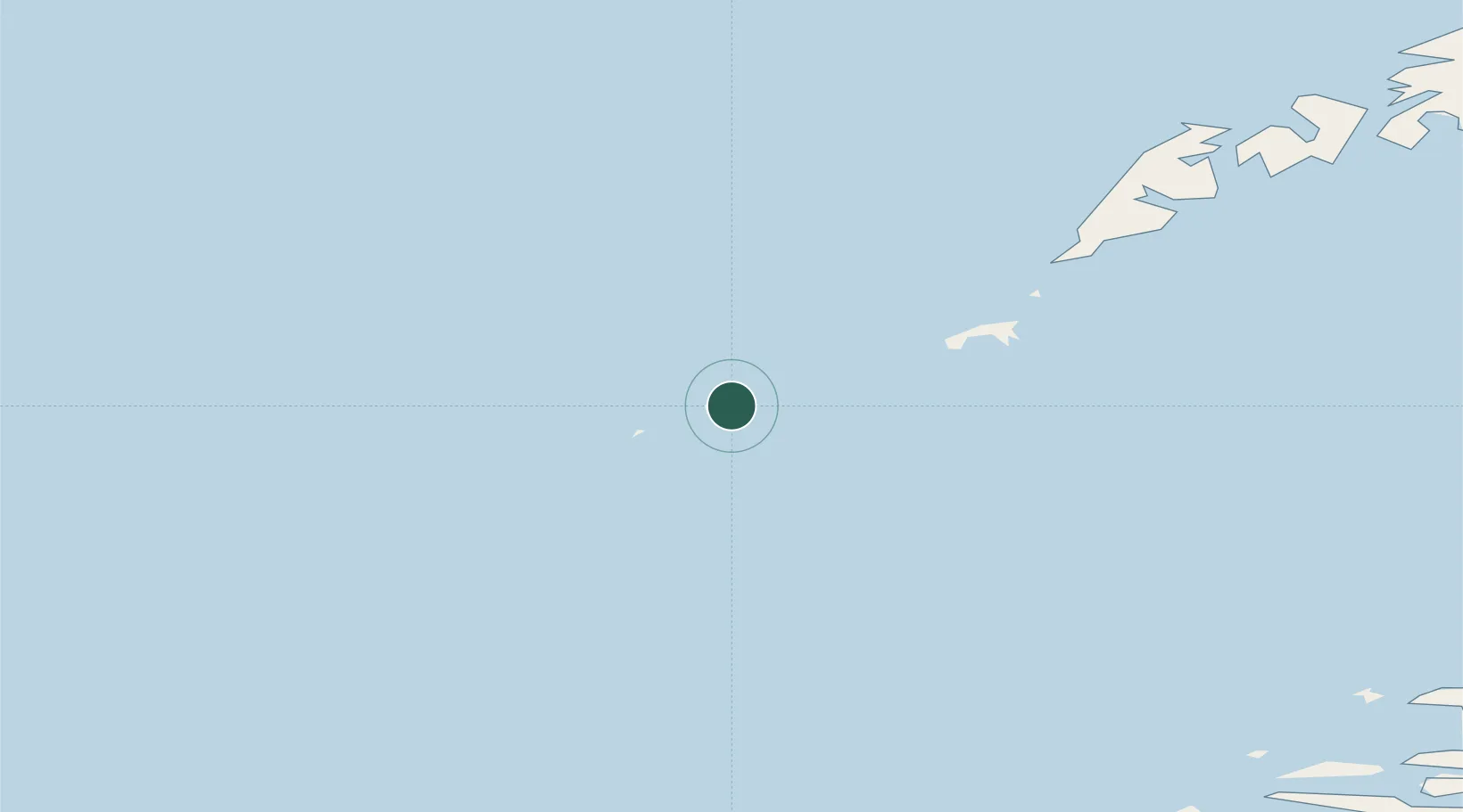
Nearby Logistics Neighbours

Cities
  1. 1Værøy28 km
  2. 2Å i Lofoten54 km
  3. 3Moskenes56 km
  4. 4Helligvær61 km
  5. 5Nusfjord77 km
Nearest neighbours — logibook spatial index (haversine) over the source coordinates
Ports
  1. 1Reine62 km
  2. 2Ballstad90 km
  3. 3Stamsund99 km
  4. 4Bodo99 km
  5. 5Ornes99 km
Nearest neighbours — logibook spatial index (haversine) over the source coordinates
Airports
  1. 1Røst Airport2 km
  2. 2Værøy Heliport30 km
  3. 3Leknes Airport94 km
  4. 4Bodø Airport99 km
  5. 5Svolvær Airport, Helle133 km
Nearest neighbours — logibook spatial index (haversine) over the source coordinates
Trade Zones
  1. 1Oulu Port Free Warehouse Area656 km
  2. 2Turku Free Zone925 km
  3. 3Stockholm Free Zone955 km
  4. 4Freeport of Hanko1003 km
  5. 5Paldiski Free Zone1083 km
Nearest neighbours — logibook spatial index (haversine) over the source coordinates
DatabookThe Record of Consolidated Knowledge
Norway beyond logistics?
Browse databook

All Sources

LocationsUN/LOCODE
UN/LOCODE — free
Portsthe NGA World Port Index
Public domain (US gov)
AirportsOurAirports
Public domain
Trade Zonesthe World Bank SEZ database
CC BY 4.0
Trade ZonesOpen Zone Map
CC BY
← Norway locations