Transport Functions
Port
Hub Profile
Region
18
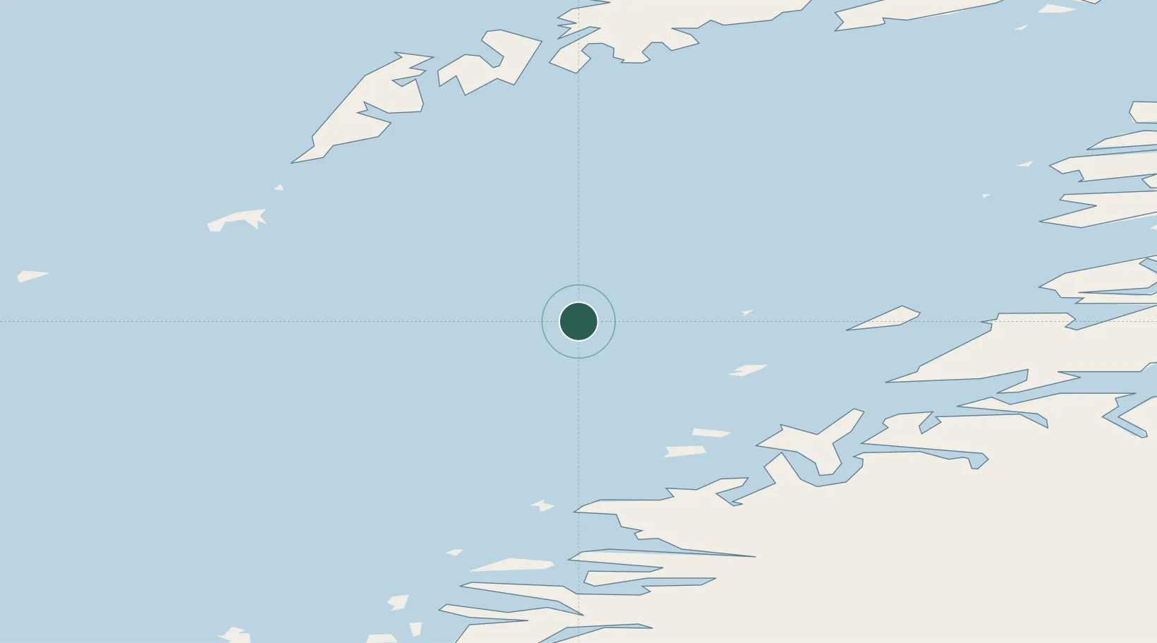
Location
Nearby Logistics Neighbours
Ports
- 1Bodo38 km
- 2Kjerringoy54 km
- 3Ornes60 km
- 4Reine63 km
- 5Glomfjord69 km
Airports
- 1Bodø Airport39 km
- 2Værøy Heliport44 km
- 3Røst Airport63 km
- 4Leknes Airport84 km
- 5Svolvær Airport, Helle105 km
Trade Zones
- 1Oulu Port Free Warehouse Area595 km
- 2Turku Free Zone880 km
- 3Stockholm Free Zone923 km
- 4Freeport of Hanko958 km
- 5Paldiski Free Zone1036 km
DatabookThe Record of Consolidated Knowledge
Norway beyond logistics?