Transport Functions
Port
Hub Profile
Region
18
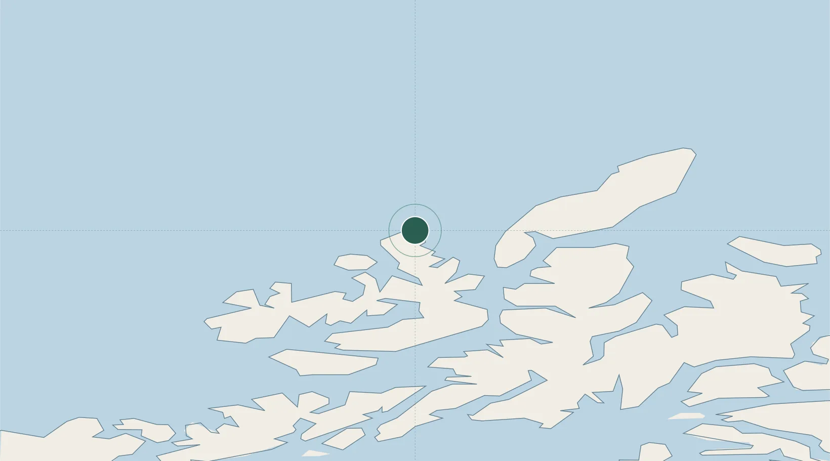
Location
Nearby Logistics Neighbours
Ports
- 1Sortland37 km
- 2Stokkmarknes51 km
- 3Andenes52 km
- 4Harstad62 km
- 5Ulvik67 km
Airports
- 1Stokmarknes Airport, Skagen49 km
- 2Andøya Airport, Andenes50 km
- 3Harstad/Narvik Airport85 km
- 4Svolvær Airport, Helle88 km
- 5Leknes Airport114 km
Trade Zones
- 1Oulu Port Free Warehouse Area630 km
- 2Turku Free Zone1009 km
- 3Stockholm Free Zone1084 km
- 4Freeport of Hanko1085 km
- 5Port of Hamina-Kotka1099 km
DatabookThe Record of Consolidated Knowledge
Norway beyond logistics?