Transport Functions
Port
Road
Hub Profile
Region
18
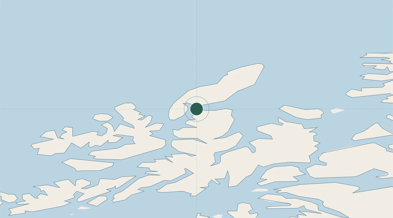
Location
Nearby Logistics Neighbours
Ports
- 1Sortland31 km
- 2Harstad41 km
- 3Andenes45 km
- 4Ulvik51 km
- 5Stokkmarknes53 km
Airports
- 1Andøya Airport, Andenes42 km
- 2Stokmarknes Airport, Skagen49 km
- 3Harstad/Narvik Airport68 km
- 4Svolvær Airport, Helle89 km
- 5Bardufoss Airport116 km
Trade Zones
- 1Oulu Port Free Warehouse Area612 km
- 2Turku Free Zone997 km
- 3Freeport of Hanko1072 km
- 4Stockholm Free Zone1076 km
- 5Port of Hamina-Kotka1083 km
DatabookThe Record of Consolidated Knowledge
Norway beyond logistics?