Transport Functions
Port
Hub Profile
Place type
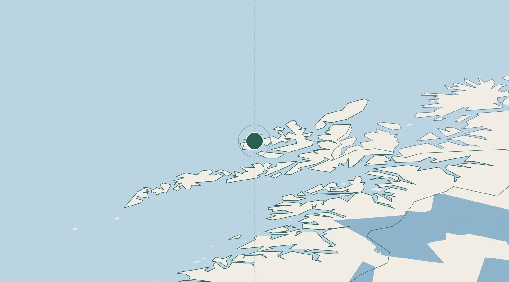
Populated place
Region
Nordland
Time zone
Europe/Oslo
Elevation
20 m
Location
Nearby Logistics Neighbours
Cities
- 1Kobbvågen2 km
- 2Straumsjøen6 km
- 3Straumsnes10 km
- 4Steinesjøen16 km
- 5Stokmarknes23 km
Ports
- 1Stokkmarknes23 km
- 2Sortland34 km
- 3Svolvaer56 km
- 4Brettesnes57 km
- 5Skrova Havn63 km
Airports
- 1Stokmarknes Airport, Skagen25 km
- 2Svolvær Airport, Helle55 km
- 3Leknes Airport76 km
- 4Andøya Airport, Andenes88 km
- 5Harstad/Narvik Airport89 km
Trade Zones
- 1Oulu Port Free Warehouse Area628 km
- 2Turku Free Zone989 km
- 3Stockholm Free Zone1057 km
- 4Freeport of Hanko1066 km
- 5Port of Hamina-Kotka1087 km
DatabookThe Record of Consolidated Knowledge
Norway beyond logistics?