Transport Functions
Port
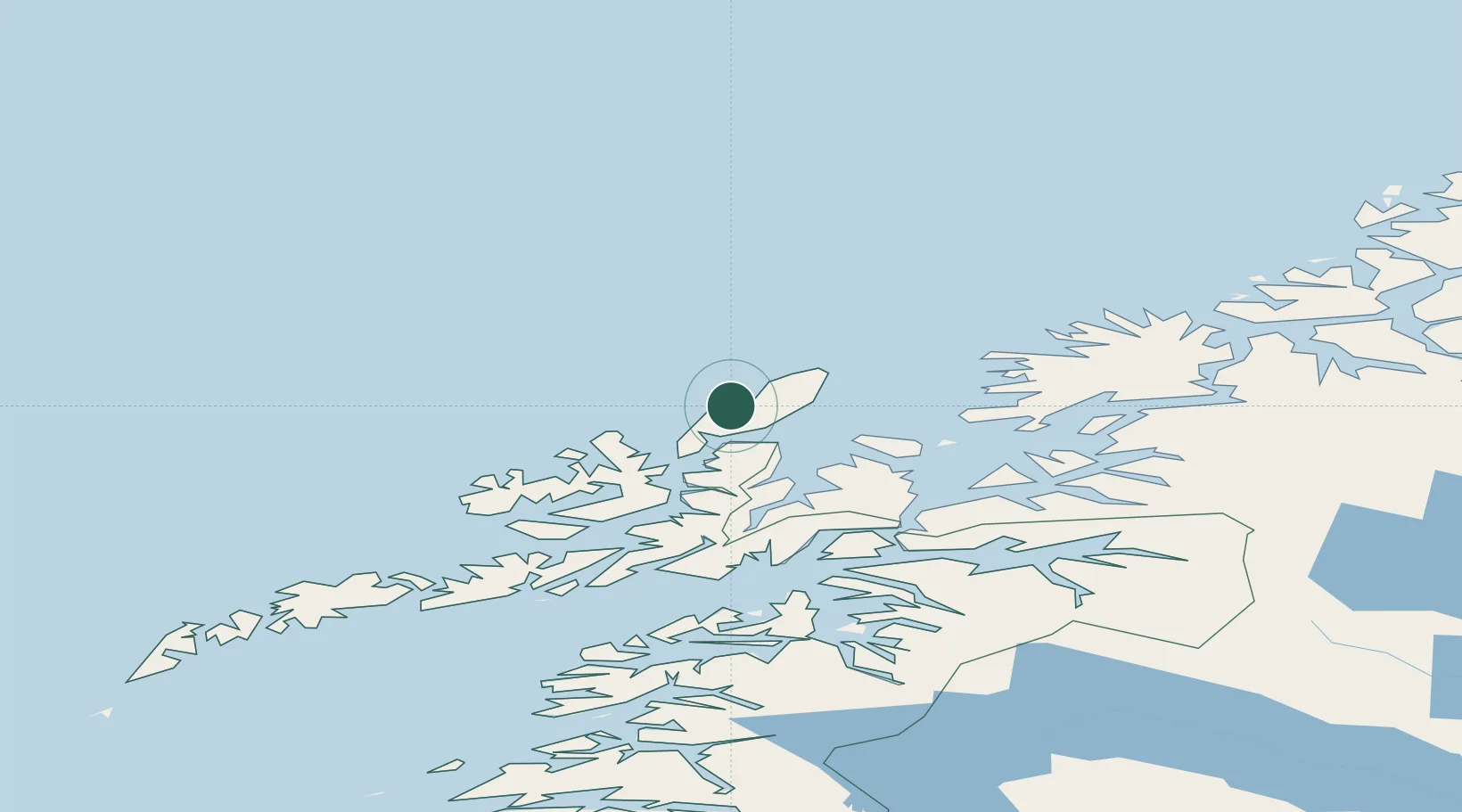
Hub Profile
Place type
Populated place
Region
Nordland
Time zone
Europe/Oslo
Elevation
3 m
Location
Nearby Logistics Neighbours
Ports
- 1Andenes28 km
- 2Sortland50 km
- 3Harstad51 km
- 4Ulvik67 km
- 5Stokkmarknes70 km
Airports
- 1Andøya Airport, Andenes26 km
- 2Stokmarknes Airport, Skagen67 km
- 3Harstad/Narvik Airport82 km
- 4Svolvær Airport, Helle107 km
- 5Bardufoss Airport114 km
Trade Zones
- 1Oulu Port Free Warehouse Area623 km
- 2Turku Free Zone1013 km
- 3Freeport of Hanko1089 km
- 4Stockholm Free Zone1094 km
- 5Port of Hamina-Kotka1097 km
DatabookThe Record of Consolidated Knowledge
Norway beyond logistics?