Transport Functions
Port
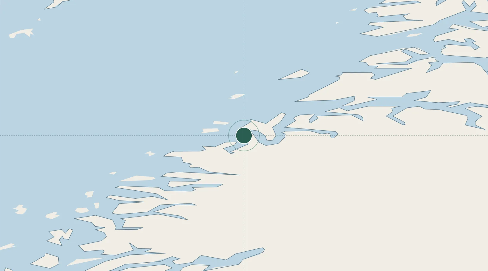
Hub Profile
Place type
Provincial seat
Region
Nordland
Population
649
Time zone
Europe/Oslo
Elevation
16 m
Location
Nearby Logistics Neighbours
Ports
- 1Ornes23 km
- 2Glomfjord25 km
- 3Bodo32 km
- 4Rognan60 km
- 5Kjerringoy63 km
Airports
- 1Bodø Airport30 km
- 2Mo i Rana Airport, Røssvoll76 km
- 3Værøy Heliport88 km
- 4Røst Airport99 km
- 5Leknes Airport126 km
Trade Zones
- 1Oulu Port Free Warehouse Area562 km
- 2Turku Free Zone835 km
- 3Stockholm Free Zone878 km
- 4Freeport of Hanko912 km
- 5Port of Hamina-Kotka964 km
DatabookThe Record of Consolidated Knowledge
Norway beyond logistics?