Transport Functions
Port
Hub Profile
Region
18
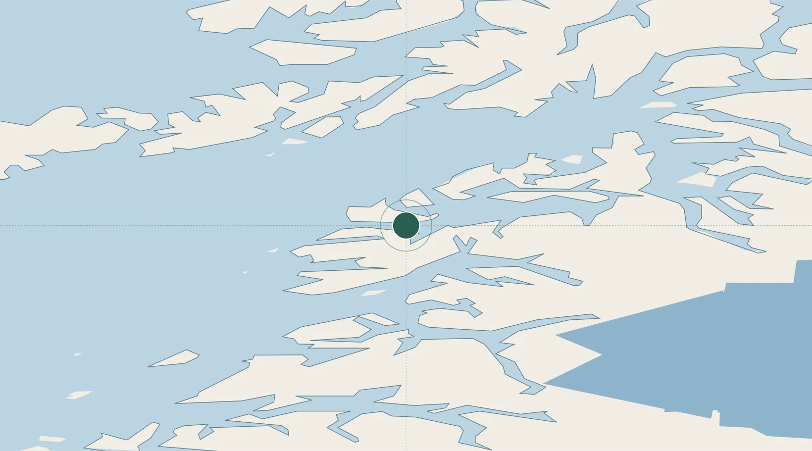
Location
Nearby Logistics Neighbours
Cities
- 1Stranda11 km
- 2Leines26 km
- 3Innhavet32 km
- 4Mørsvikbotn35 km
- 5Evenestangen37 km
Ports
- 1Skrova Havn37 km
- 2Tranoy37 km
- 3Brettesnes40 km
- 4Drag41 km
- 5Svolvaer45 km
Airports
- 1Svolvær Airport, Helle44 km
- 2Leknes Airport71 km
- 3Stokmarknes Airport, Skagen76 km
- 4Bodø Airport78 km
- 5Harstad/Narvik Airport90 km
Trade Zones
- 1Oulu Port Free Warehouse Area556 km
- 2Turku Free Zone895 km
- 3Stockholm Free Zone962 km
- 4Freeport of Hanko972 km
- 5Port of Hamina-Kotka1000 km
DatabookThe Record of Consolidated Knowledge
Norway beyond logistics?