Transport Functions
Multimodal
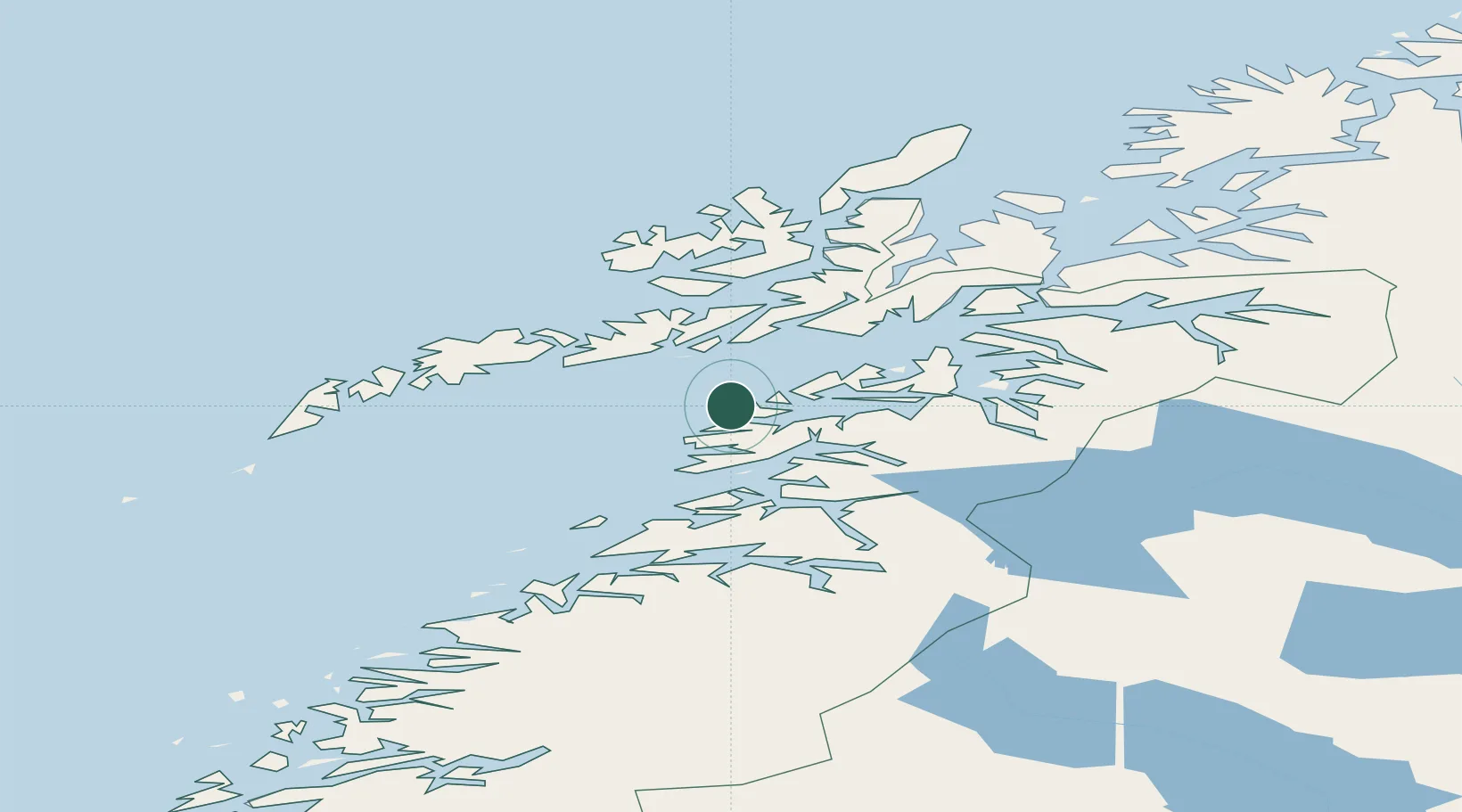
Hub Profile
Place type
Populated place
Region
Nordland
Time zone
Europe/Oslo
Elevation
3 m
Location
Nearby Logistics Neighbours
Cities
- 1Bogøy11 km
- 2Skrova26 km
- 3Leines28 km
- 4Brettesnes30 km
- 5Svolvær34 km
Ports
- 1Skrova Havn26 km
- 2Brettesnes30 km
- 3Svolvaer34 km
- 4Tranoy37 km
- 5Henningsvaer39 km
Airports
- 1Svolvær Airport, Helle34 km
- 2Leknes Airport61 km
- 3Stokmarknes Airport, Skagen68 km
- 4Bodø Airport82 km
- 5Harstad/Narvik Airport91 km
Trade Zones
- 1Oulu Port Free Warehouse Area567 km
- 2Turku Free Zone905 km
- 3Stockholm Free Zone970 km
- 4Freeport of Hanko982 km
- 5Port of Hamina-Kotka1010 km
DatabookThe Record of Consolidated Knowledge
Norway beyond logistics?