Transport Functions
Port
Road
Hub Profile
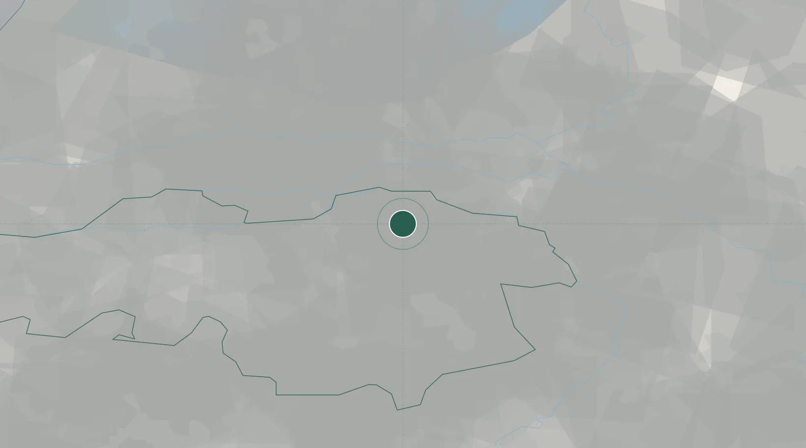
Place type
Populated place
Region
North Brabant
Time zone
Europe/Amsterdam
Elevation
13 m
Location
Nearby Logistics Neighbours
Ports
- 1Dordrecht64 km
- 2Rotterdam77 km
- 3Schiedam82 km
- 4Amsterdam84 km
- 5Vlaardingen86 km
Airports
- 1Volkel Air Base13 km
- 2Eindhoven Airport34 km
- 3Deelen Air Base42 km
- 4Weeze (Niederrhein) Airport42 km
- 5Gilze Rijen Air Base48 km
Trade Zones
- 1Freeport of Duisburg77 km
- 2Rheinische Revier SWZ108 km
- 3ZFU Condé sur lEscaut198 km
- 4ZFU Maubeuge, Louvroil200 km
- 5ZFU Tourcoing202 km
DatabookThe Record of Consolidated Knowledge
Netherlands beyond logistics?