Transport Functions
Road
Multimodal
Hub Profile
Place type
Populated place
Region
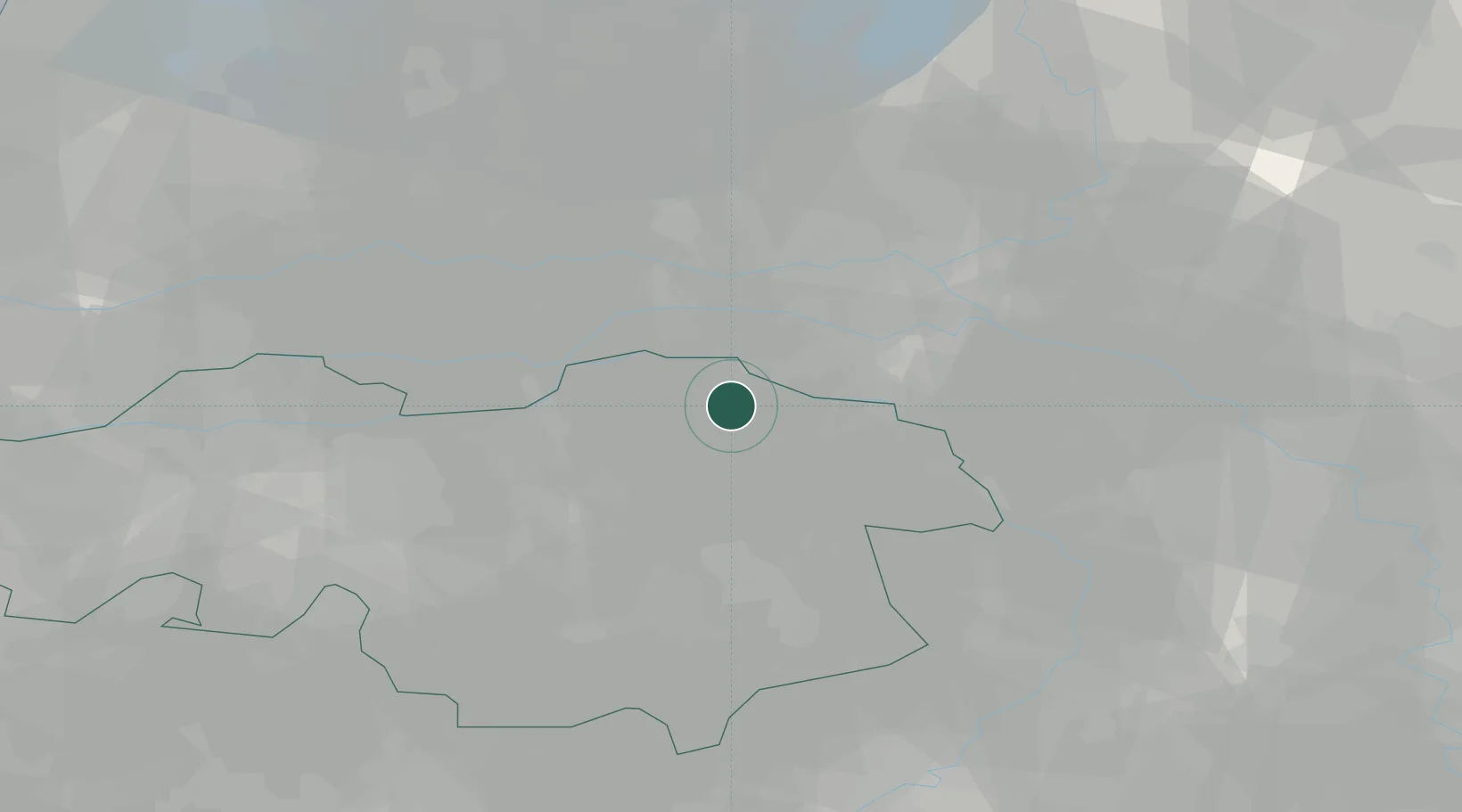
North Brabant
Population
5,970
Time zone
Europe/Amsterdam
Elevation
11 m
Location
Nearby Logistics Neighbours
Cities
- 1Zevenbergen5 km
- 2Niftrik6 km
- 3Keent7 km
- 4Oss7 km
- 5Nederasselt8 km
Ports
- 1Dordrecht68 km
- 2Rotterdam81 km
- 3Amsterdam85 km
- 4Schiedam86 km
- 5Vlaardingen90 km
Airports
- 1Volkel Air Base12 km
- 2Eindhoven Airport38 km
- 3Deelen Air Base38 km
- 4Weeze (Niederrhein) Airport39 km
- 5Gilze Rijen Air Base53 km
Trade Zones
- 1Freeport of Duisburg74 km
- 2Rheinische Revier SWZ107 km
- 3ZFU Condé sur lEscaut203 km
- 4ZFU Maubeuge, Louvroil204 km
- 5Freeport of Emden205 km
DatabookThe Record of Consolidated Knowledge
Netherlands beyond logistics?