Transport Functions
Port
Road
Hub Profile
Place type
Populated place
Region
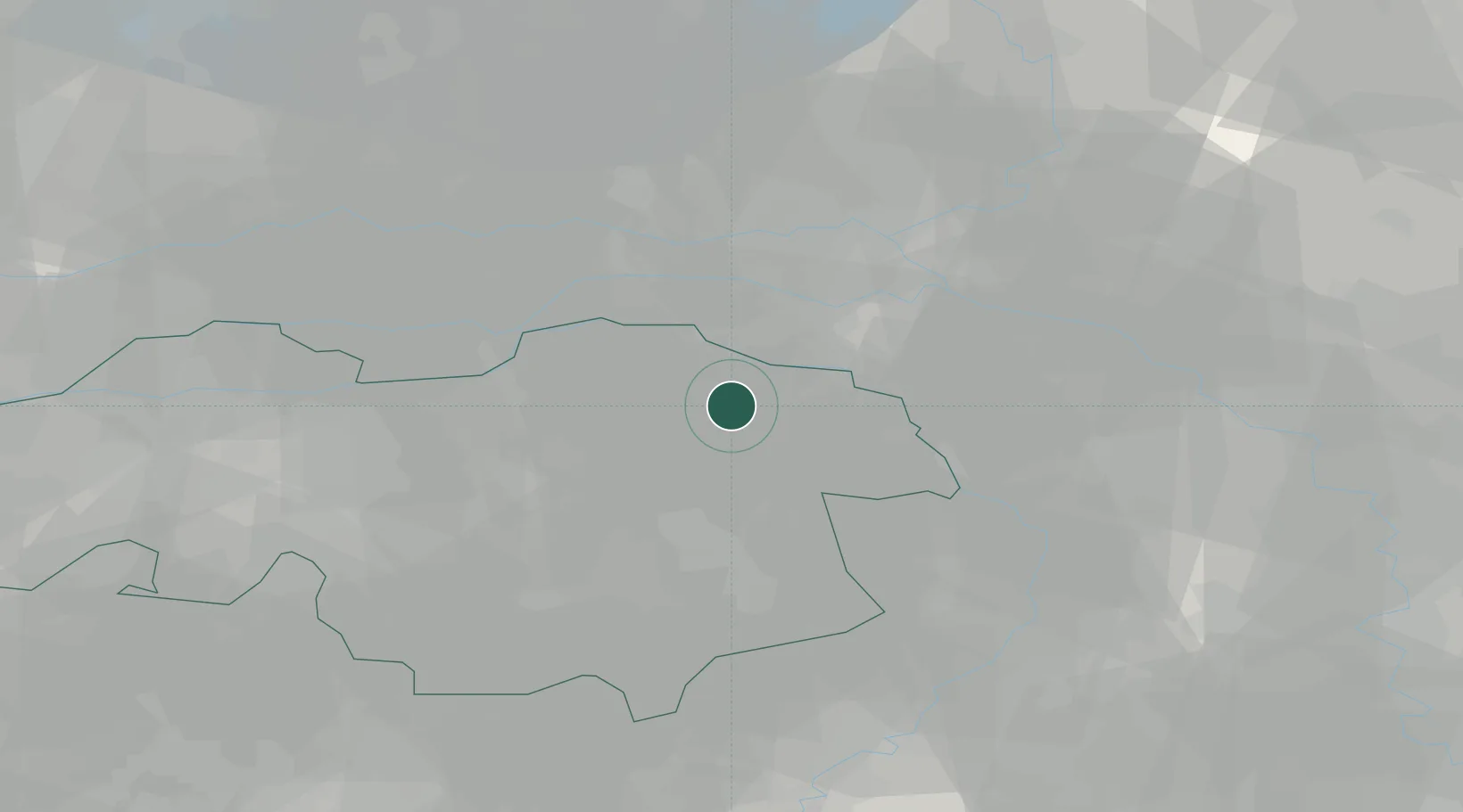
North Brabant
Time zone
Europe/Amsterdam
Elevation
8 m
Location
Nearby Logistics Neighbours
Cities
- 1Odiliapeel6 km
- 2Schaijk7 km
- 3Nederasselt8 km
- 4Zevenbergen10 km
- 5Niftrik11 km
Ports
- 1Dordrecht73 km
- 2Rotterdam87 km
- 3Schiedam92 km
- 4Amsterdam92 km
- 5Vlaardingen96 km
Airports
- 1Volkel Air Base5 km
- 2Weeze (Niederrhein) Airport32 km
- 3Eindhoven Airport36 km
- 4Deelen Air Base42 km
- 5Kempen Airport Budel50 km
Trade Zones
- 1Freeport of Duisburg68 km
- 2Rheinische Revier SWZ100 km
- 3ZFU Condé sur lEscaut202 km
- 4ZFU Maubeuge, Louvroil202 km
- 5ZFU Tourcoing208 km
DatabookThe Record of Consolidated Knowledge
Netherlands beyond logistics?