Transport Functions
Port
Rail
Road
Hub Profile
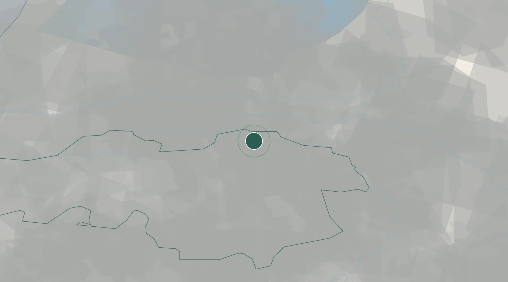
Place type
Populated place
Region
North Brabant
Population
76,430
Time zone
Europe/Amsterdam
Elevation
8 m
Logistics facilities
1
Location
Nearby Logistics Neighbours
Cities
- 1Lithoijen6 km
- 2Zevenbergen6 km
- 3Schaijk7 km
- 4Niftrik9 km
- 5Maren-Kessel10 km
Ports
- 1Dordrecht62 km
- 2Rotterdam74 km
- 3Amsterdam78 km
- 4Schiedam80 km
- 5Vlaardingen83 km
Airports
- 1Volkel Air Base18 km
- 2Deelen Air Base38 km
- 3Eindhoven Airport39 km
- 4Weeze (Niederrhein) Airport46 km
- 5Gilze Rijen Air Base48 km
Trade Zones
- 1Freeport of Duisburg81 km
- 2Rheinische Revier SWZ113 km
- 3ZFU Condé sur lEscaut201 km
- 4ZFU Maubeuge, Louvroil203 km
- 5ZFU Tourcoing203 km
DatabookThe Record of Consolidated Knowledge
Netherlands beyond logistics?