Transport Functions
Port
Road
Hub Profile
Place type
Populated place
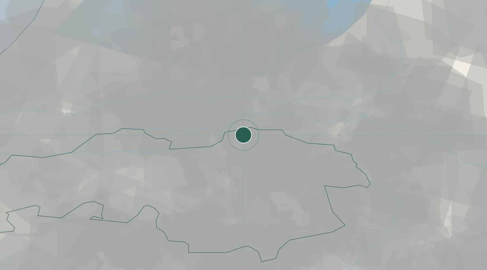
Region
North Brabant
Population
745
Time zone
Europe/Amsterdam
Elevation
7 m
Location
Nearby Logistics Neighbours
Cities
- 1Maren-Kessel5 km
- 2Oss6 km
- 3Dreumel6 km
- 4's-Hertogenbosch7 km
- 5Sint Andries8 km
Ports
- 1Dordrecht56 km
- 2Rotterdam69 km
- 3Amsterdam74 km
- 4Schiedam74 km
- 5Vlaardingen78 km
Airports
- 1Volkel Air Base23 km
- 2Eindhoven Airport39 km
- 3Deelen Air Base40 km
- 4Gilze Rijen Air Base45 km
- 5Weeze (Niederrhein) Airport52 km
Trade Zones
- 1Freeport of Duisburg87 km
- 2Rheinische Revier SWZ118 km
- 3ZFU Condé sur lEscaut199 km
- 4ZFU Tourcoing200 km
- 5ZFU Maubeuge, Louvroil202 km
DatabookThe Record of Consolidated Knowledge
Netherlands beyond logistics?