Transport Functions
Multimodal
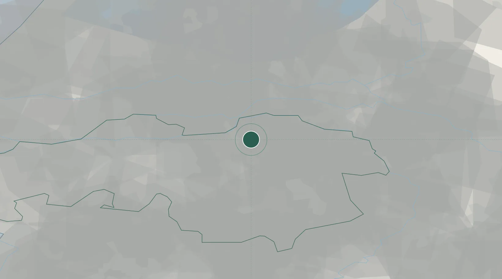
Hub Profile
Place type
Populated place
Region
North Brabant
Population
4,554
Time zone
Europe/Amsterdam
Elevation
7 m
Location
Nearby Logistics Neighbours
Cities
- 1's-Hertogenbosch4 km
- 2Berlicum7 km
- 3Empel7 km
- 4Heeswijk8 km
- 5Herven8 km
Ports
- 1Dordrecht55 km
- 2Rotterdam68 km
- 3Schiedam74 km
- 4Vlaardingen77 km
- 5Amsterdam81 km
Airports
- 1Volkel Air Base20 km
- 2Eindhoven Airport30 km
- 3Gilze Rijen Air Base38 km
- 4Deelen Air Base49 km
- 5Weeze (Niederrhein) Airport51 km
Trade Zones
- 1Freeport of Duisburg85 km
- 2Rheinische Revier SWZ111 km
- 3ZFU Condé sur lEscaut190 km
- 4ZFU Maubeuge, Louvroil193 km
- 5ZFU Tourcoing193 km
DatabookThe Record of Consolidated Knowledge
Netherlands beyond logistics?