UN/LOCODE hub · Netherlands
NLZE5
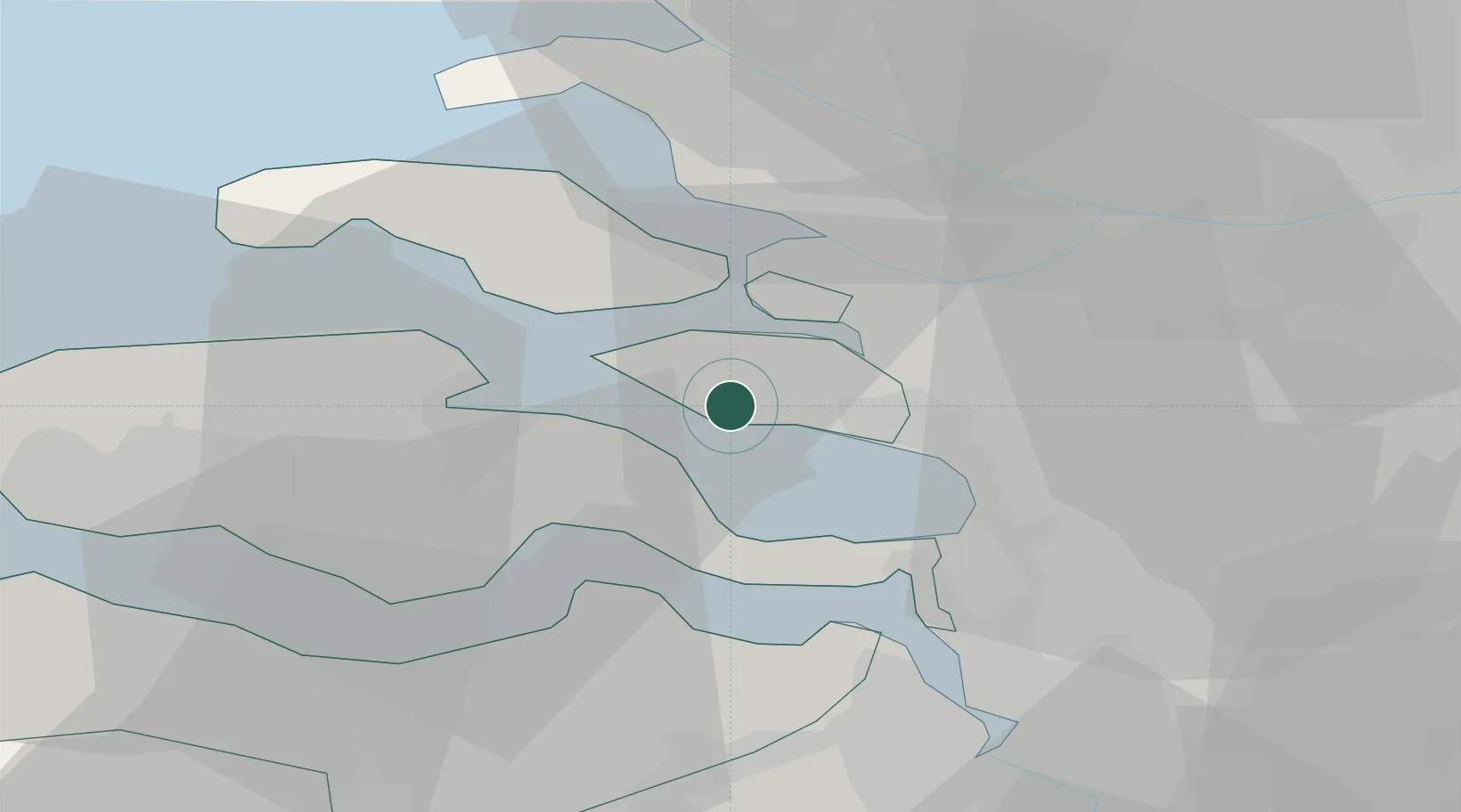
Scherpenisse
51.5500°, 4.1000°
1,605
Population
2
Transport functions
Transport Functions
Port
Multimodal
Hub Profile
Place type
Populated place
Region
Zeeland
Population
1,605
Time zone
Europe/Amsterdam
Elevation
-1 m
Location
Nearby Logistics Neighbours
Cities
- 1Sint-Annaland6 km
- 2Stavenisse8 km
- 3Nieuw-Vossemeer9 km
- 4S Heer Arendskerke9 km
- 5Bergen op Zoom12 km
Ports
- 1Hansweert13 km
- 2Terneuzen30 km
- 3Vlissingen36 km
- 4Maassluis42 km
- 5Antwerpen43 km
Airports
Trade Zones
- 1ZFU Tourcoing113 km
- 2ZFU Hem et Roubaix116 km
- 3ZFU Condé sur lEscaut126 km
- 4ZFU de Lille et de Loos127 km
- 5ZFU Saint Pol sur Mer136 km
DatabookThe Record of Consolidated Knowledge
Netherlands beyond logistics?