Transport Functions
Port
Road
Hub Profile
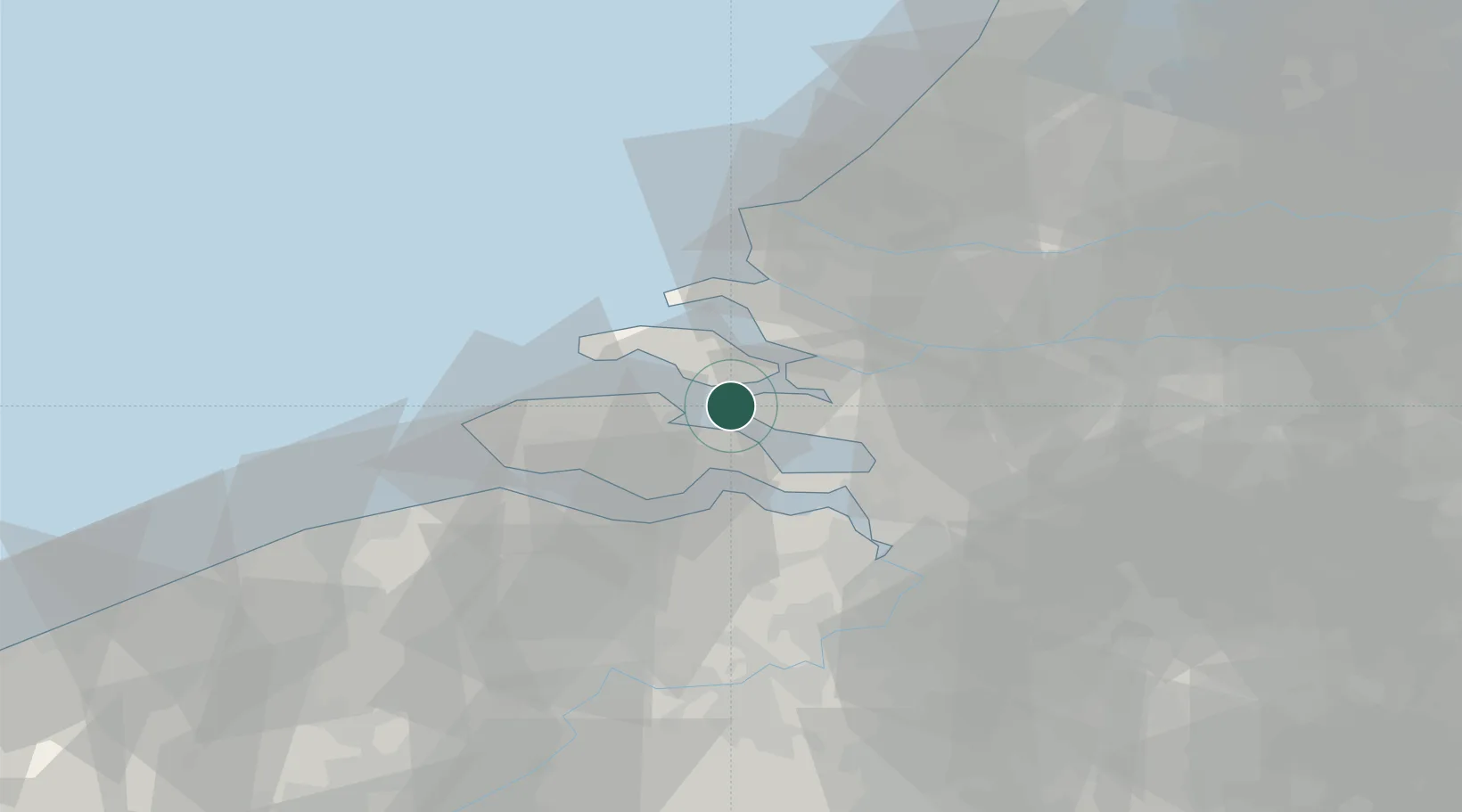
Place type
Populated place
Region
Zeeland
Population
1,505
Time zone
Europe/Amsterdam
Elevation
2 m
Location
Nearby Logistics Neighbours
Cities
- 1Sint-Annaland7 km
- 2Scherpenisse8 km
- 3Wilhelminadorp9 km
- 4S Heer Arendskerke9 km
- 5Kats9 km
Ports
- 1Hansweert15 km
- 2Terneuzen29 km
- 3Vlissingen31 km
- 4Maassluis41 km
- 5Europoort42 km
Airports
Trade Zones
- 1ZFU Tourcoing112 km
- 2ZFU Hem et Roubaix115 km
- 3ZFU de Lille et de Loos126 km
- 4ZFU Condé sur lEscaut128 km
- 5ZFU Saint Pol sur Mer131 km
DatabookThe Record of Consolidated Knowledge
Netherlands beyond logistics?