Transport Functions
Port
Multimodal
Hub Profile
Place type
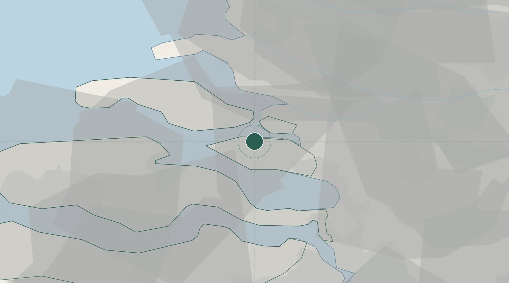
Populated place
Region
Zeeland
Time zone
Europe/Amsterdam
Elevation
0 m
Location
Nearby Logistics Neighbours
Cities
- 1Scherpenisse6 km
- 2Stavenisse7 km
- 3Sirjansland8 km
- 4Nieuw-Vossemeer8 km
- 5De Heen12 km
Ports
- 1Hansweert18 km
- 2Terneuzen34 km
- 3Maassluis37 km
- 4Vlaardingen38 km
- 5Vlissingen38 km
Airports
Trade Zones
- 1ZFU Tourcoing118 km
- 2ZFU Hem et Roubaix120 km
- 3ZFU Condé sur lEscaut131 km
- 4ZFU de Lille et de Loos132 km
- 5ZFU Saint Pol sur Mer138 km
DatabookThe Record of Consolidated Knowledge
Netherlands beyond logistics?