Transport Functions
Multimodal
Hub Profile
Place type
Populated place
Region
Zeeland
Time zone
Europe/Amsterdam
Elevation
0 m
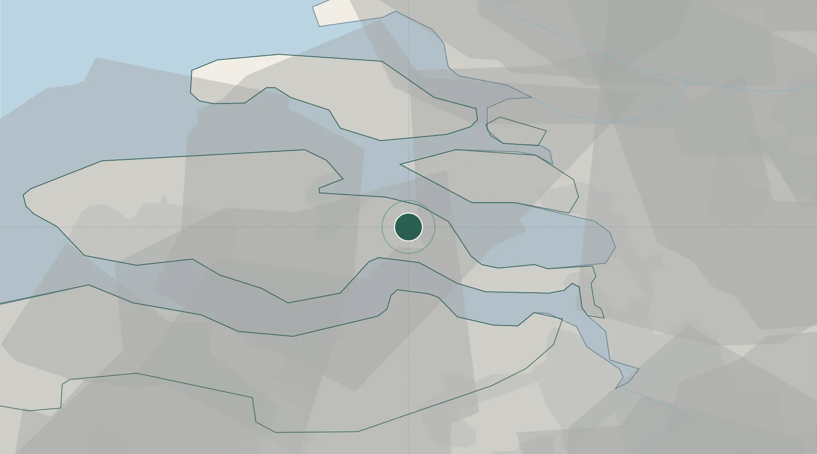
Location
Nearby Logistics Neighbours
Cities
- 1Hansweert/Schore7 km
- 2Wilhelminadorp8 km
- 3Scherpenisse9 km
- 4's-Gravenpolder9 km
- 5Stavenisse9 km
Ports
- 1Hansweert6 km
- 2Terneuzen21 km
- 3Vlissingen28 km
- 4Antwerpen42 km
- 5Maassluis49 km
Airports
Trade Zones
- 1ZFU Tourcoing104 km
- 2ZFU Hem et Roubaix107 km
- 3ZFU Condé sur lEscaut119 km
- 4ZFU de Lille et de Loos119 km
- 5ZFU Saint Pol sur Mer127 km
DatabookThe Record of Consolidated Knowledge
Netherlands beyond logistics?