UN/LOCODE hub · Netherlands
NLBZM
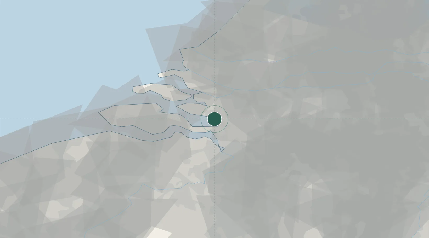
Bergen op Zoom
51.4993°, 4.2600°
66,256
Population
3
Transport functions
Transport Functions
Port
Rail
Road
Hub Profile
Place type
Populated place
Region
North Brabant
Population
66,256
Time zone
Europe/Amsterdam
Elevation
9 m
Logistics facilities
2
Location
Nearby Logistics Neighbours
Cities
- 1Nieuw-Vossemeer10 km
- 2Rilland11 km
- 3Ossendrecht12 km
- 4Krabbendijke12 km
- 5Scherpenisse12 km
Ports
- 1Hansweert19 km
- 2Antwerpen33 km
- 3Terneuzen35 km
- 4Dordrecht44 km
- 5Vlaardingen45 km
Airports
Trade Zones
- 1ZFU Tourcoing116 km
- 2ZFU Hem et Roubaix118 km
- 3ZFU Condé sur lEscaut125 km
- 4ZFU de Lille et de Loos130 km
- 5ZFU Maubeuge, Louvroil140 km
DatabookThe Record of Consolidated Knowledge
Netherlands beyond logistics?