UN/LOCODE hub · Netherlands
NLNVO
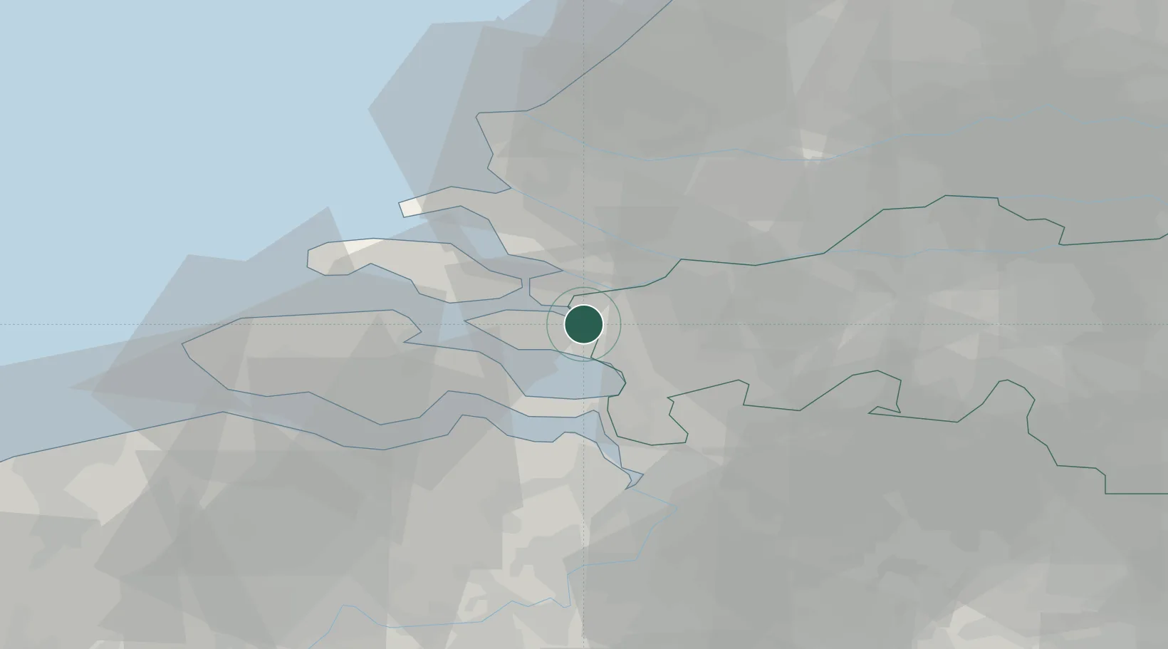
Nieuw-Vossemeer
51.5833°, 4.2167°
1,975
Population
2
Transport functions
Transport Functions
Road
Multimodal
Hub Profile
Place type
Populated place
Region
North Brabant
Population
1,975
Time zone
Europe/Amsterdam
Elevation
-1 m
Location
Nearby Logistics Neighbours
Cities
- 1De Heen5 km
- 2Sint-Annaland8 km
- 3Scherpenisse9 km
- 4Bergen op Zoom10 km
- 5Volkerak10 km
Ports
- 1Hansweert21 km
- 2Vlaardingen36 km
- 3Maassluis37 km
- 4Schiedam37 km
- 5Terneuzen38 km
Airports
Trade Zones
- 1ZFU Tourcoing121 km
- 2ZFU Hem et Roubaix124 km
- 3ZFU Condé sur lEscaut132 km
- 4ZFU de Lille et de Loos135 km
- 5ZFU Saint Pol sur Mer145 km
DatabookThe Record of Consolidated Knowledge
Netherlands beyond logistics?