Transport Functions
Port
Road
Hub Profile
Place type
Populated place
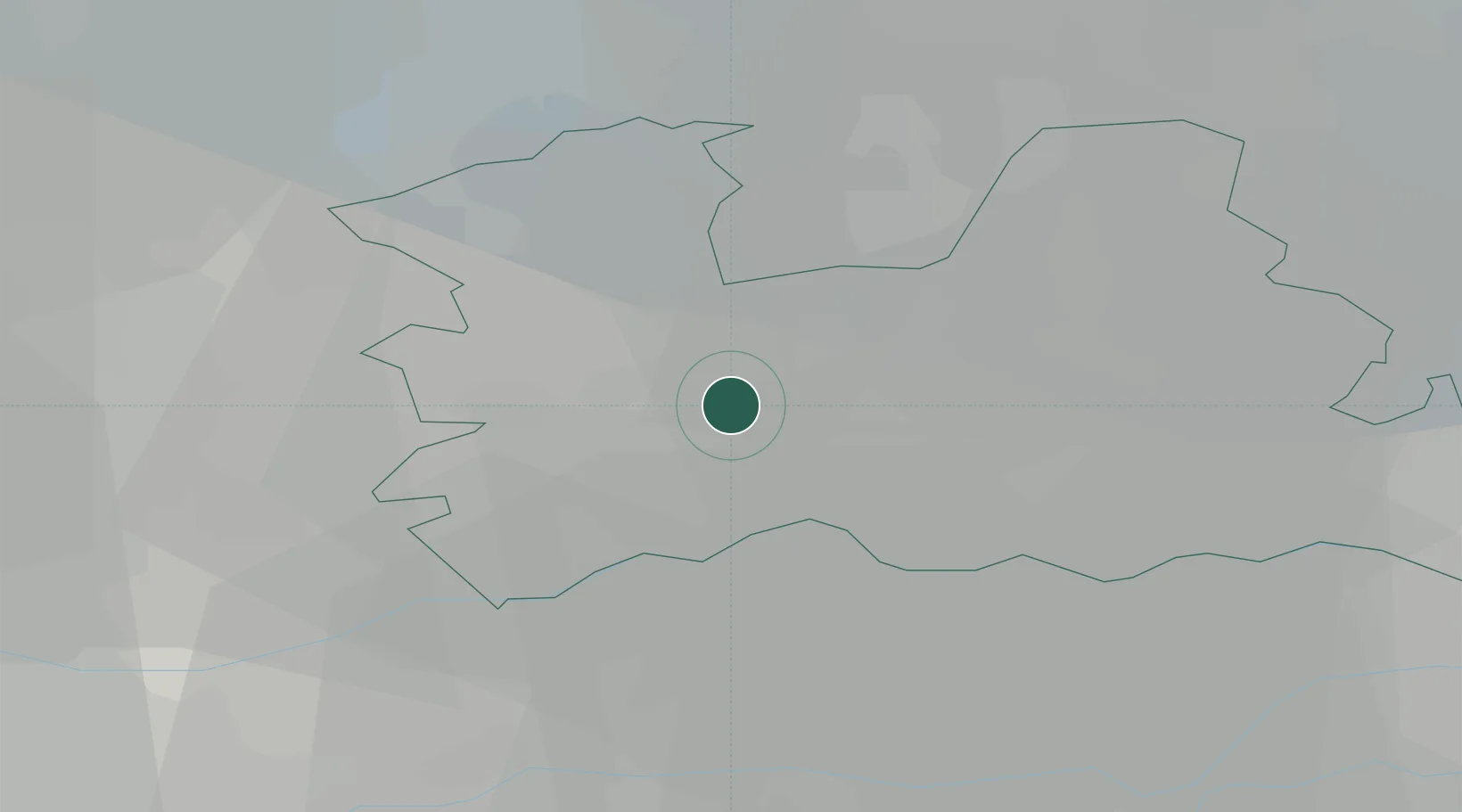
Region
Utrecht
Time zone
Europe/Amsterdam
Elevation
3 m
Location
Nearby Logistics Neighbours
Cities
- 1Oudenrijn1 km
- 2Utrecht3 km
- 3Haarzuilens5 km
- 4Oud-Zuilen6 km
- 5Achthoven6 km
Airports
- 1Amsterdam Airport Schiphol32 km
- 2Rotterdam The Hague Airport44 km
- 3Lelystad Airport52 km
- 4Deelen Air Base56 km
- 5Gilze Rijen Air Base58 km
Trade Zones
- 1Freeport of Duisburg127 km
- 2Rheinische Revier SWZ160 km
- 3ZFU Tourcoing200 km
- 4Freeport of Emden200 km
- 5ZFU Hem et Roubaix203 km
DatabookThe Record of Consolidated Knowledge
Netherlands beyond logistics?